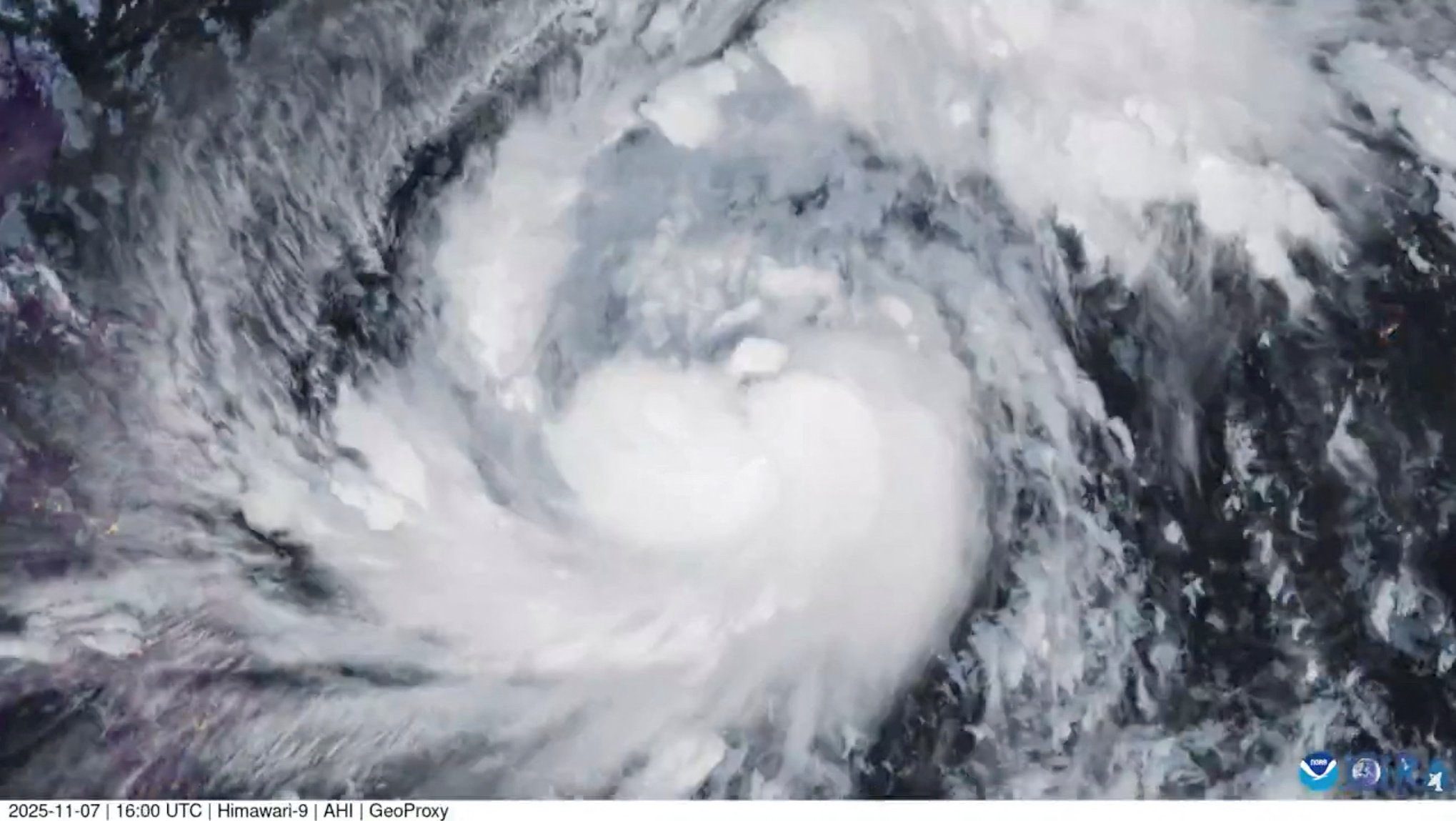
by Michael Carlowicz (NASA) In recent years, meteorologists and climate scientists have been awed by the rapid intensification of several tropical cyclones around the world—a phenomenon that is believed to become more likely in a warming world. This week, Super Typhoon Chanthu provided another stark example of how quickly a storm can strengthen.
Chanthu first became a tropical depression in the early afternoon on September 6, 2021. Within 48 hours, it had increased to super typhoon strength. Wind speeds accelerated from 50 kilometers (30 miles) per hour to 260 kilometers (160 miles) per hour. According to NOAA scientist Sam Lillo, only five storms on record have intensified at such a rate.
Chanthu is a relatively compact storm by the standards of most hurricanes and typhoons. Meteorologist Jeff Masters noted: “Chanthu is a very small storm, and small tropical cyclones are capable of very rapid intensity changes, both strengthening, and weakening.” According to NOAA scientists, Chanthu had a tiny “pinhole” eye for much of September 8.
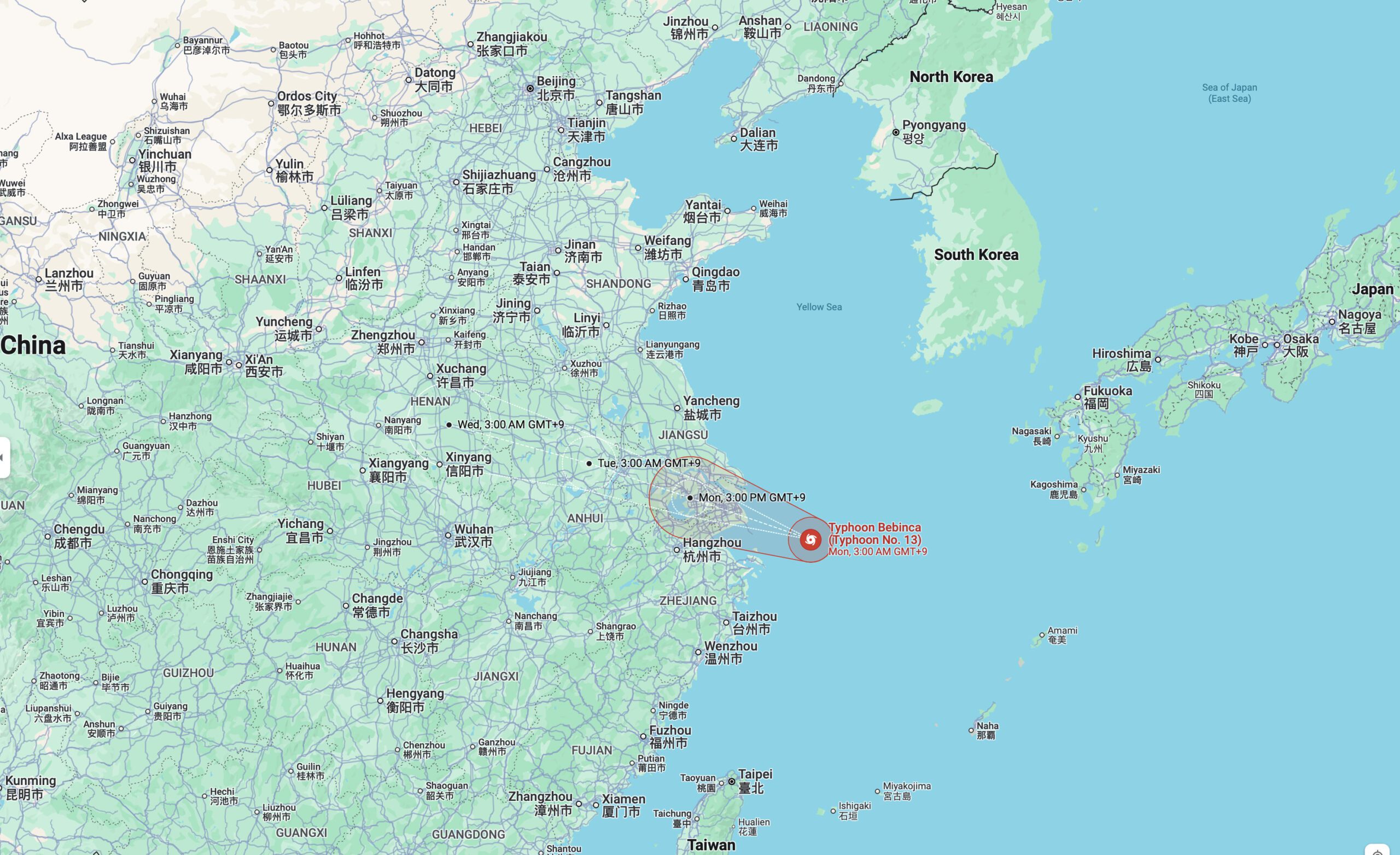
The typhoon, named Kiko in the Philippines, is predicted to pass just north of the island of Luzon as a category 4 storm. It is likely to arrive at Taiwan on September 11 or 12. The Philippines is still drying out from Typhoon Conson (Jolina), which moved through earlier this week.
The U.S. National Hurricane Center defines “rapid intensification” as an increase of maximum sustained winds by at least 35 miles per hour within 24 hours. Some key ingredients for rapid intensification of tropical cyclones include high sea surface temperatures, excess ocean heat content (a measure of the water temperature below the surface), and low vertical wind shear.
Warm waters go hand-in-hand with warm, humid air, and both provide vital energy and moisture for hurricanes. Vertical wind shear is the difference in the speed and direction of lower level and upper level winds. High shear rips the tops off of developing hurricanes and weakens them, while low shear allows storms to build.
NASA Earth Observatory image by Lauren Dauphin, using MODIS data from NASA EOSDIS LANCE and GIBS/Worldview. Story by Michael Carlowicz, NASA.
Updated: September 13, 2021 (Originally published September 9, 2021)
Editorial Standards · Corrections · About gCaptain

 Join The Club