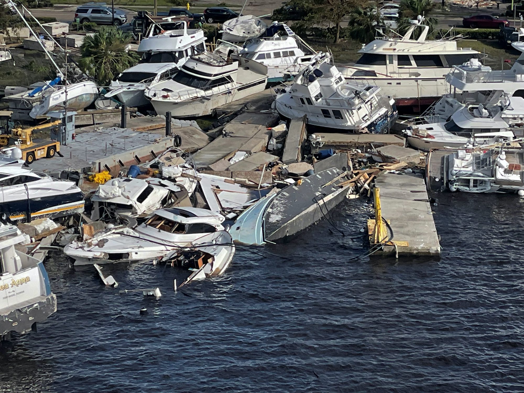
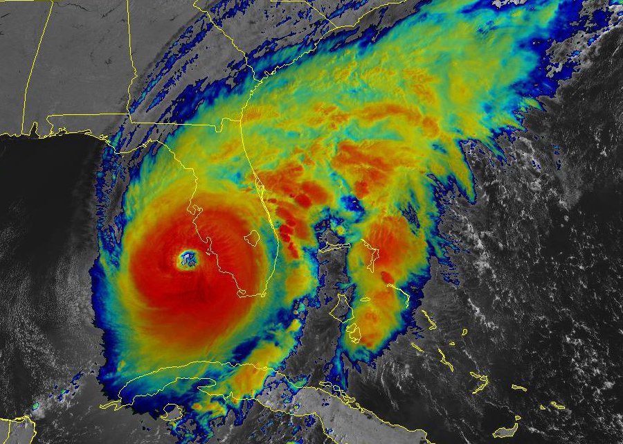
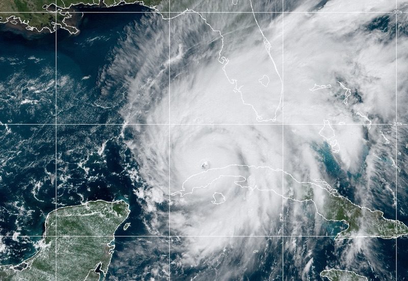
Ian has restrengthened into a hurricane and is forecast to take aim at Georgia and the Carolinas after leaving a path of destruction across Florida, the National Hurricane Center said in its 5 p.m. EDT advisory on Thursday.
Ian was downgraded to a Tropical Storm as it moved inland over central Florida after making landfall Wednesday near Cayo Costa as the fifth most powerful storm to hit the U.S. mainland, packing winds of 150 mph at landfall.
Once back out to sea, the storm regained strength and is now producing maximum sustained winds of 75 mph—a category 1 hurricane. Ian is forecast to strengthen slightly before its next landfall on Friday along the South Carolina coast, bringing with it life-threatening flooding, storm surge, and strong winds.
The U.S. Coast Guard Captain of the Port (COTP) in sectors Savannah and Charleston have set Port Condition ZULU for the ports of Savannah and Brunswick in Georgia and all ports in South Carolina.
All ports in both states are closed at this time and, with Port Condition ZULU in place, no vessel movements or port waterfront operations are allowed unless previously authorized by the COTP.
The dozens of ships at anchor outside of the ports of Savannah and Charleston began moving out to sea on Wednesday for storm avoidance.
As of the NHC’s 5 p.m. update, Hurricane Ian was located about 240 miles south of Charleston and moving toward the north-northeast at almost 10 mph. Hurricane-force winds extend up to 45 miles from the center, with tropical-storm-force winds extending outward by up 415 miles.
“Ian could slightly strengthen before landfall tomorrow, and is forecast to rapidly weaken over the southeastern United States late Friday into Saturday,” the NHC said.
Editorial Standards · Corrections · About gCaptain

 Join The Club


