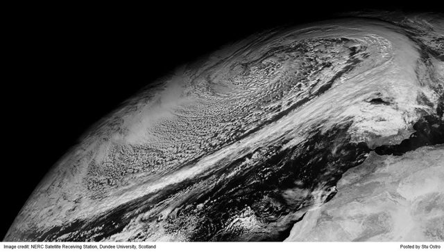
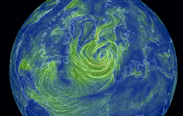
As the ice thickens in Thunder Bay, Canada underneath a polar vortex which has brought temperatures down to 26 degrees below F, and wind chills at negative 51 degrees (as I type this) a winter “hurricane” is churning up seas of 20 meters or more in the North Atlantic west of the British Isles.
Surfers in Portugal are no doubt eagerly anticipating legendary waves to hit their shores, however a storm of this magnitude is certainly causing a bit of worry for merchant vessels working the transatlantic trade who might be in the path of this monster, as well as oil and gas assets offshore the UK and Norway. Such concern is amplified considering the recent structural issues found in the containership MSC Monterey which had to duck into a Canadian harbor after a significant crack was found in its deck.
Stu Ostro from the Weather Channel shared the following image on his Facebook page last night of winter storm “Hercules” in the North Atlantic.
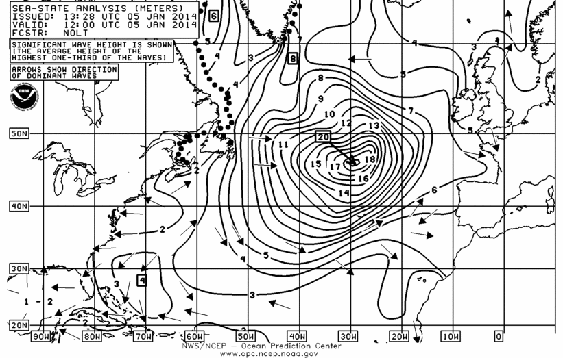
NOAA’s most recent sea-state analysis shows significant wave heights of 20 meters in the center of this storm. Much larger waves are possible however as this only indicates the average height of the highest one-third of the waves.
click for larger
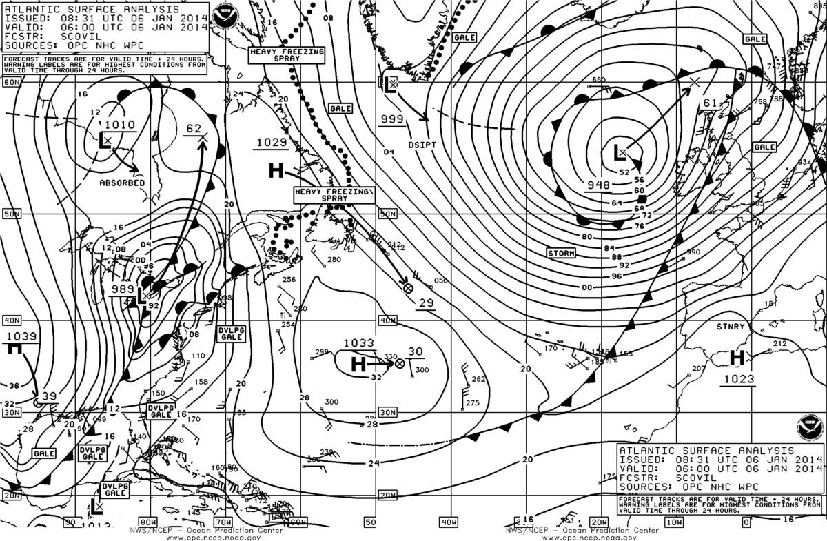
The track of the storm will bring it north of the UK resulting in Force 9 to Force 10 winds in the North Sea and offshore Norway. Gale warnings extend from the Strait of Gibraltar north through Norway.
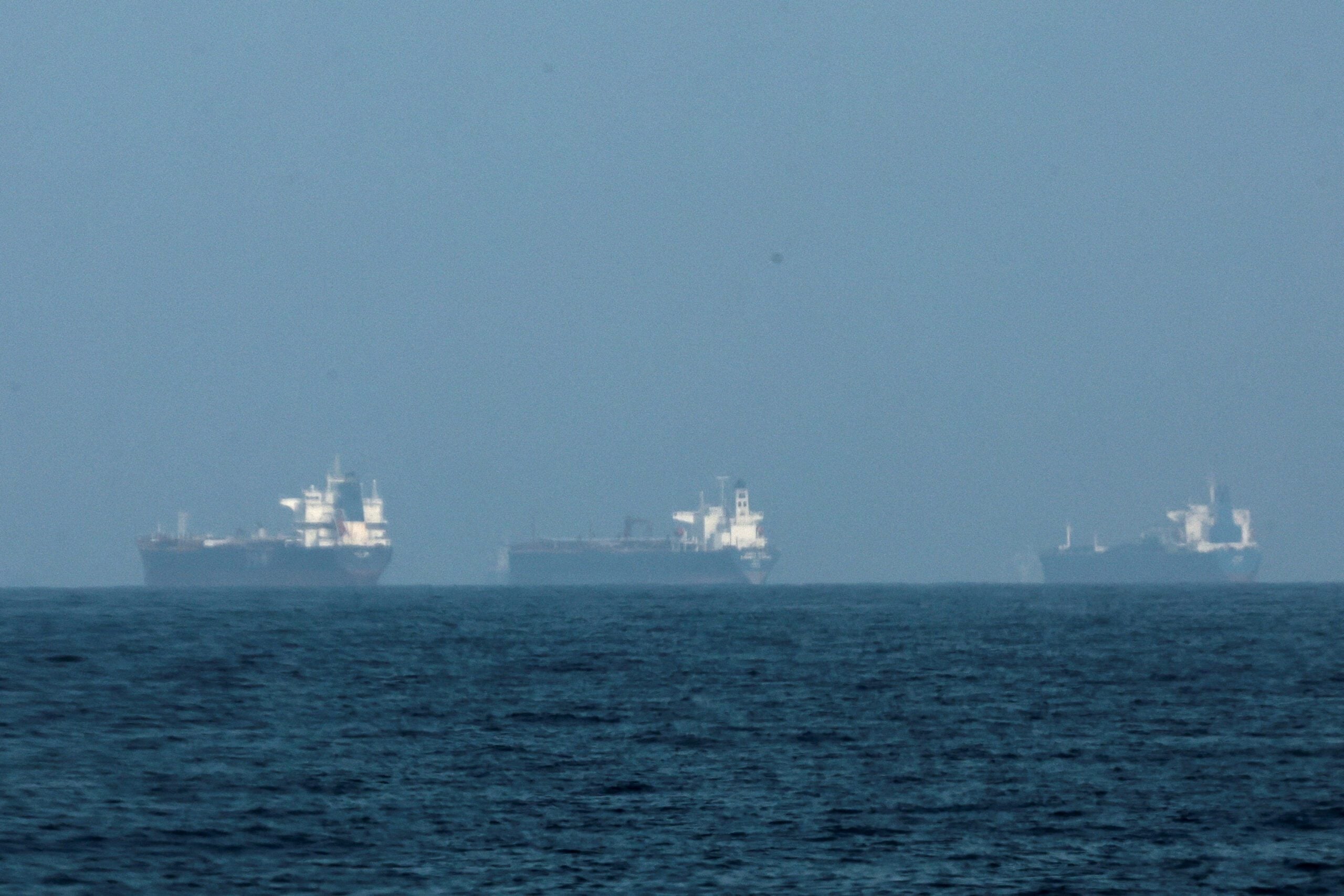
By Florence Tan SINGAPORE, April 11 (Reuters) – Three supertankers passed through the Strait of Hormuz on Saturday, shipping data showed, marking what appeared to be the first vessels to exit the Gulf...
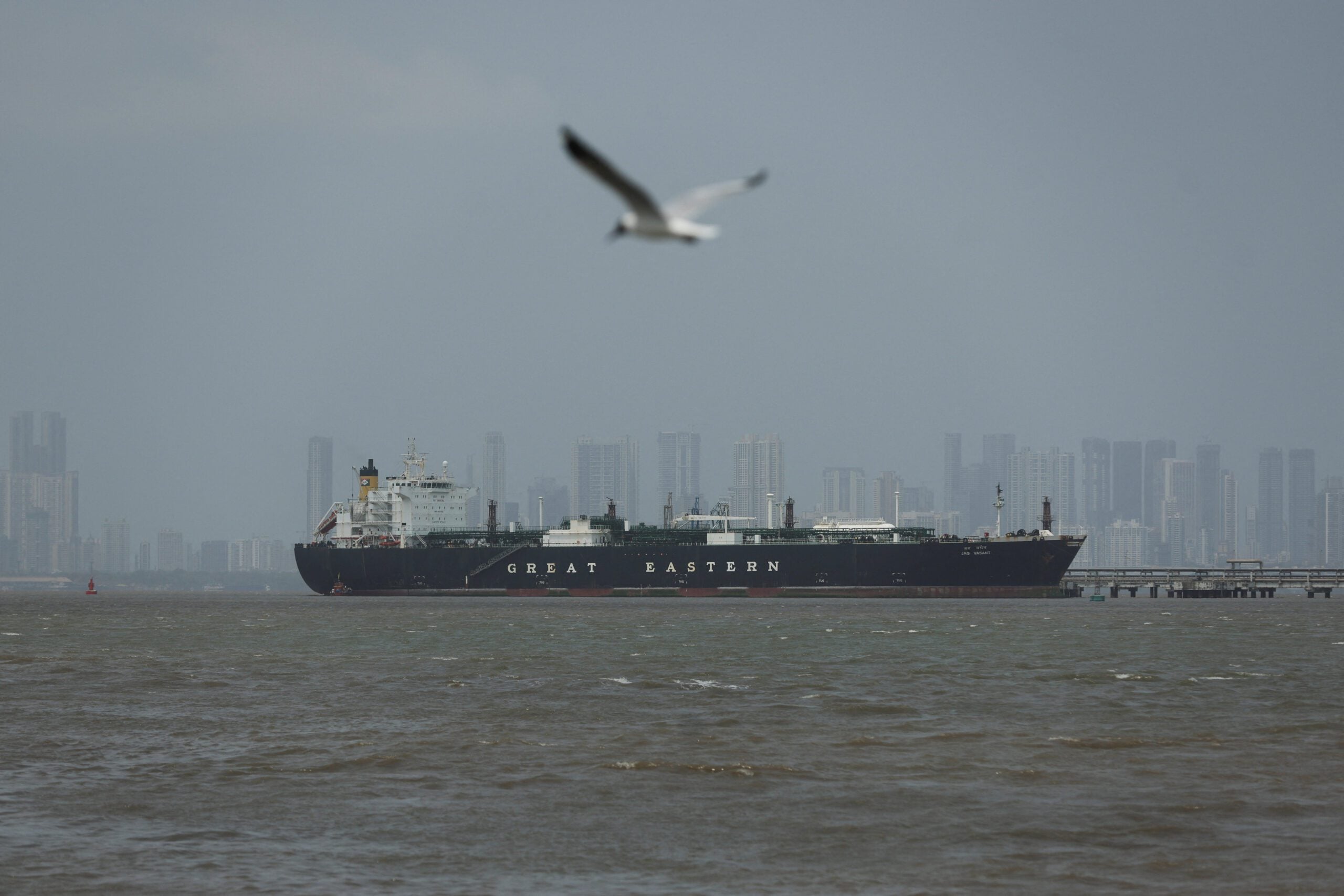
April 11 (Reuters) – U.S. President Donald Trump said on Saturday that many tanker ships are en route to the United States to transport oil and gas to other countries. “Massive numbers...
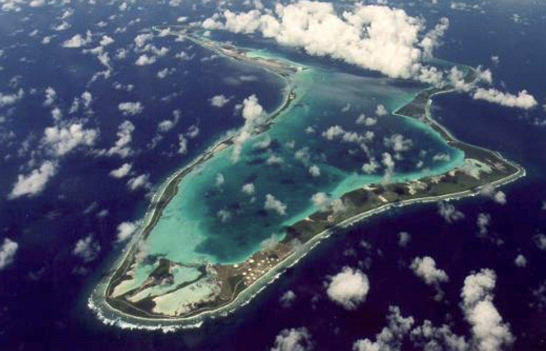
By Suban Abdulla and William Schomberg LONDON, April 11 (Reuters) – Britain’s government said on Saturday it had put on hold its deal to cede sovereignty of the Chagos Islands – home...
11 hours ago
Total Views: 671
Get The Industry’s Go-To News
Subscribe to gCaptain Daily and stay informed with the latest global maritime and offshore news
— just like 107,225 professionals
Secure Your Spot
on the gCaptain Crew
Stay informed with the latest maritime and offshore news, delivered daily straight to your inbox
— trusted by our 107,225 members
Your Gateway to the Maritime World!
Essential news coupled with the finest maritime content sourced from across the globe.

 Join The Club