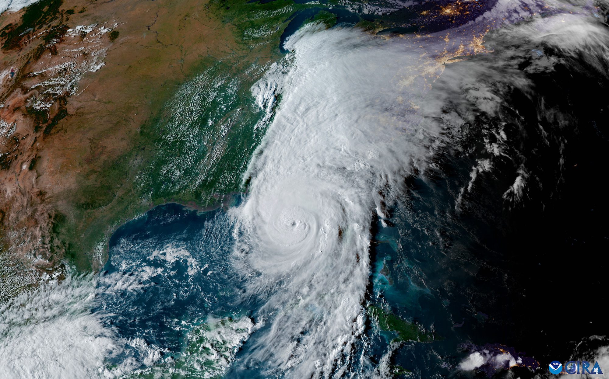
Tropical Storm Milton is rapidly intensifying as it moves across the Gulf of Mexico, prompting major concerns for the west coast of Florida.
The National Hurricane Center (NHC) reports that Milton is expected to become a hurricane later today and a major hurricane by late Monday.
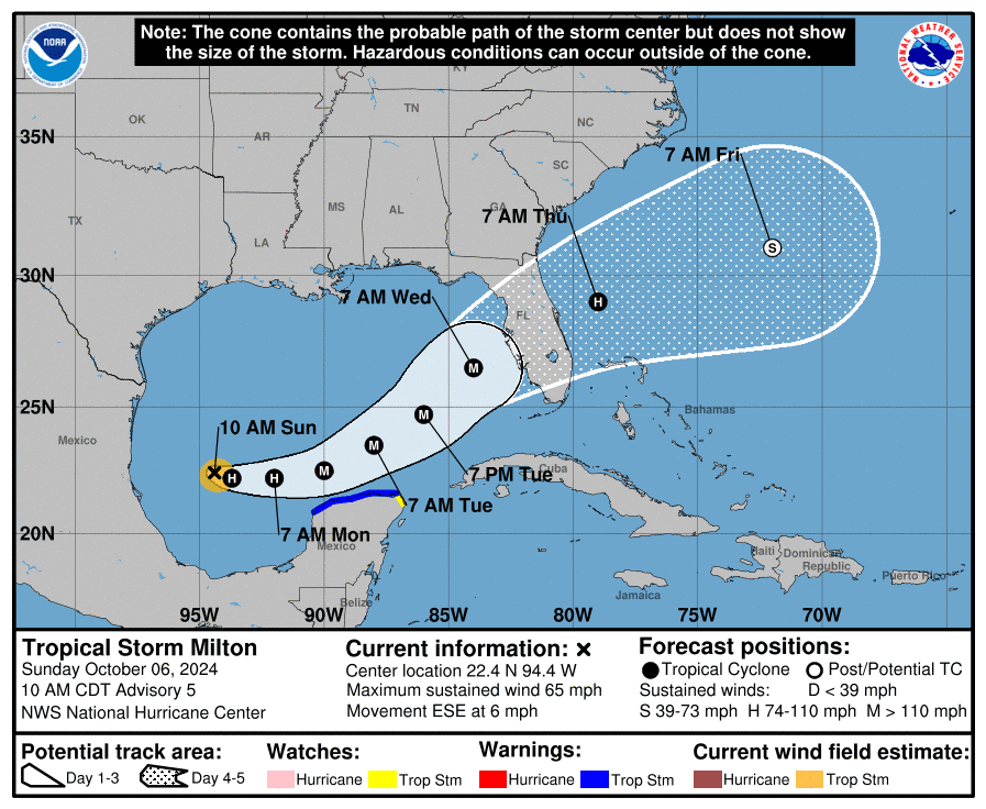
As of 10:00 AM CDT, Milton’s maximum sustained winds have increased to near 65 mph (100 km/h) with higher gusts, and tropical-storm-force winds extend outward up to 60 miles from the center. The storm’s minimum central pressure is estimated at 991 mb.
“There is increasing confidence that a powerful hurricane with life-threatening hazards will be affecting portions of the Florida west coast around the middle of this week,” an NHC forecaster said in a forecast discussion.
The storm is expected to move north of the Yucatan Peninsula and across the Gulf of Mexico, approaching the west coast of Florida by midweek as a major hurricane. A NOAA Hurricane Hunter crew reported on Sunday that an eyewall has formed, indicating that the system is primed for rapid intensification.
“Given the track over the very deep warm waters of the Gulf of Mexico and little shear for the next couple of days, rapid intensification is explicitly forecast, and the new NHC prediction could still be conservative over the central Gulf of Mexico,” the NHC said. “The biggest question actually seems to be the intensity as Milton approaches Florida, with much of the guidance showing a notable increase in shear.”
Despite uncertainties in the details, forecasters are increasingly confident that a powerful hurricane with life-threatening hazards will affect portions of Florida’s west coast by midweek.
Residents in Florida are urged to prepare for potential life-threatening storm surge and damaging winds, which could begin as early as Tuesday night or early Wednesday. Additionally, heavy rainfall is expected to impact portions of Florida today and Monday, with an increased risk of flooding.
The Mexican government has issued a Tropical Storm Warning for the north coast of the Yucatan Peninsula, where tropical storm conditions are expected to begin Monday.
As the situation evolves, residents in potentially affected areas are advised to closely monitor updates and follow guidance from local officials.
Editorial Standards · Corrections · About gCaptain

 Join The Club


