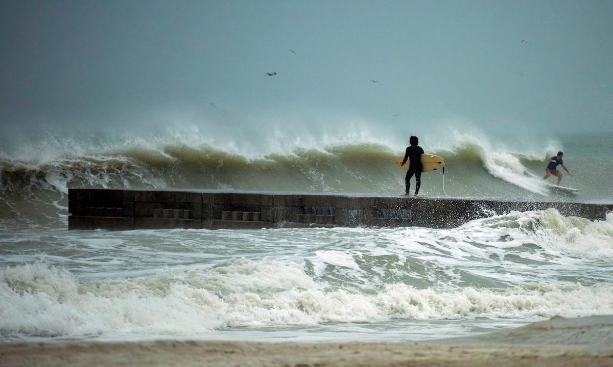
A surfer times the waves before jumping off the jetty into the surf before the arrival of Tropical Storm Eta in Bradenton Beach, Florida, U.S. November 11, 2020. REUTERS/Steve Nesius

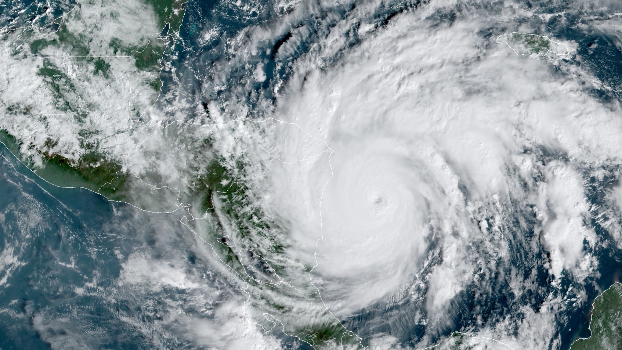
By Gabriella Borter Nov 11 (Reuters) – Eta regained hurricane strength on Wednesday and was expected to bring squall winds and a storm surge to Florida’s west coast before making landfall on Thursday north of Tampa, forecasters said.
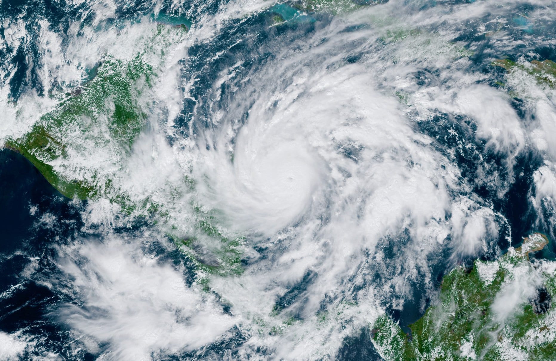
The category 1 hurricane, the 28th named storm of the busiest Atlantic hurricane season on record, according to the Miami-based National Hurricane Center, was projected to make its fourth landfall early on Thursday after slamming Central America, Cuba and Lower Matecumbe Key in recent days.
It had dropped nearly 18 inches of rain over parts of South Florida by Monday, moved southwest and then stalled over the Gulf of Mexico on Tuesday before it made a northward turn. It is now moving on that north-northeast trajectory at 10 miles per hour (16 kph).
The storm was about 145 miles (233km) south southwest of Tampa, with maximum sustained winds of 75 miles per hour (120 kph)on Wednesday, the NHC said.
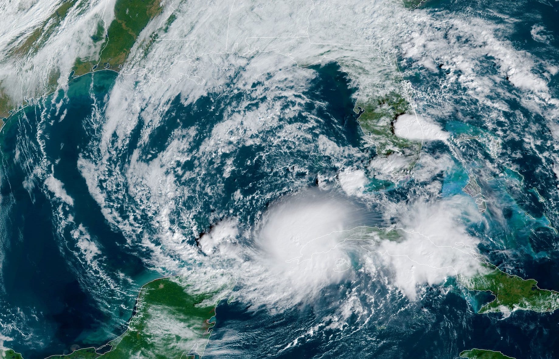
The west coast of Florida faces “the multiple threats of a landfalling hurricane or tropical storm,” said Dennis Feltgen, a meteorologist for the National Weather Service, listing the heavy rainfall, storm surge and possible tornadoes in the forecast.
“One is of course the wind, which could be at the very least gusting to hurricane force, and sustained tropical storm force winds. That’s enough to do some damage,” Feltgen said.
The “zigzag” pattern of Eta’s path is caused by the convergence of multiple weather fronts steering it, Feltgen said.
“It’s a little atmosphere tug of war going on around the storm, and now the storm has a little alley to finally get out of the gulf. Unfortunately the state of Florida is in its way,” Feltgen said.
The storm surge from Eta was expected to affect southern and western Florida and the Florida Keys on Wednesday and Thursday. The state’s west coast was under a storm surge watch on Wednesday from the Suwanee River to Bonita Beach, including Tampa Bay, where the water could rise up to 5 feet.
“These swells are likely to cause life-threatening surf and rip current conditions,” the NHC said in an advisory.
Tampa International Airport said on Twitter it would suspend operations at 3 PM on Wednesday due to the impending storm.
Parts of Broward County, on Florida’s east coast, were still severely flooded on Wednesday, with lakes overflowed and residential streets submerged. Rainfall totals from Eta could add up to 20 inches in some parts of South Florida, the NHC said. (Reporting by Gabriella Borter; Editing by Bernadette Baum)
(c) Copyright Thomson Reuters 2020.
Editorial Standards · Corrections · About gCaptain
This article contains reporting from Reuters, published under license.

 Join The Club