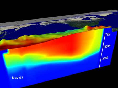
Water temperature profile, Equatorial Pacific Ocean, January 1997 – NOAA ImageBy Phoebe Sedgman (Bloomberg) – An El Nino weather pattern, which can parch parts of Australia and Asia while bringing rains to South America, will probably develop in the next few months as the Pacific Ocean warms, Australia’s Bureau of Meteorology says.
The chances of El Nino developing during the southern hemisphere winter are more than 70 percent, the bureau said on its website today. It is too early to determine the strength of the possible weather pattern, it said. Australia’s winter starts in June and runs to the end of August.
El Ninos affect weather worldwide and can roil agricultural markets as farmers contend with drought or too much rain. The phenomenon often touches off warmer winters across the northern U.S., heavier rains from southern Brazil to Argentina and drier conditions across Southeast Asia, Indonesia and eastern Australia. It also can lead to a calmer Atlantic hurricane season and a stormier winter in the U.S. south.
“Surface and sub-surface ocean temperatures have warmed considerably in recent weeks, consistent with a state of rapid transition,” the Melbourne-based bureau said. “Most models predict sea-surface temperatures will reach El Nino thresholds during the coming winter season.”
The pattern would come after this year’s dry spell parched some Brazilian growing areas. Prices for arabica coffee surged 81 percent this year. The S&P GSCI gauge of eight crops climbed 16 percent over the same time.
Southern Oscillation
The Southern Oscillation Index, which indicates the development and intensity of El Nino or La Nina events, was at minus 9, according to the bureau. Sustained negative values below minus 8 may indicate an El Nino event, it said.
The U.S. Climate Prediction Center issued an El Nino watch last month. There’s a 52 percent chance that the Pacific Ocean will warm enough to trigger the pattern late this summer or in early fall, according to climate scientist Michelle L’Heureux. The odds of El Nino emerging later in the northern hemisphere summer are 75 percent, MDA Weather Services said last month.
While the pattern will probably start changing global weather from May, it will begin as a mild to weak event and take many months to meet the definition of an El Nino, Drew Lerner, president at World Weather Inc. said this month. The last El Nino occurred in 2009 to 2010, and since then a cooling called La Nina and a period of neutral conditions have held sway, according to the Climate Prediction Center.
by Zhe Li (University Corporation for Atmospheric Research) Atmospheric rivers – those long, narrow bands of water vapor in the sky that bring heavy rain and storms to the U.S....
In the wake of Hurricane Milton, videos of tornadoes and waterspouts flooded social media. We have to ask: Which is more dangerous? by Astrid Werkmeister (University of Strathclyde) After weeks...
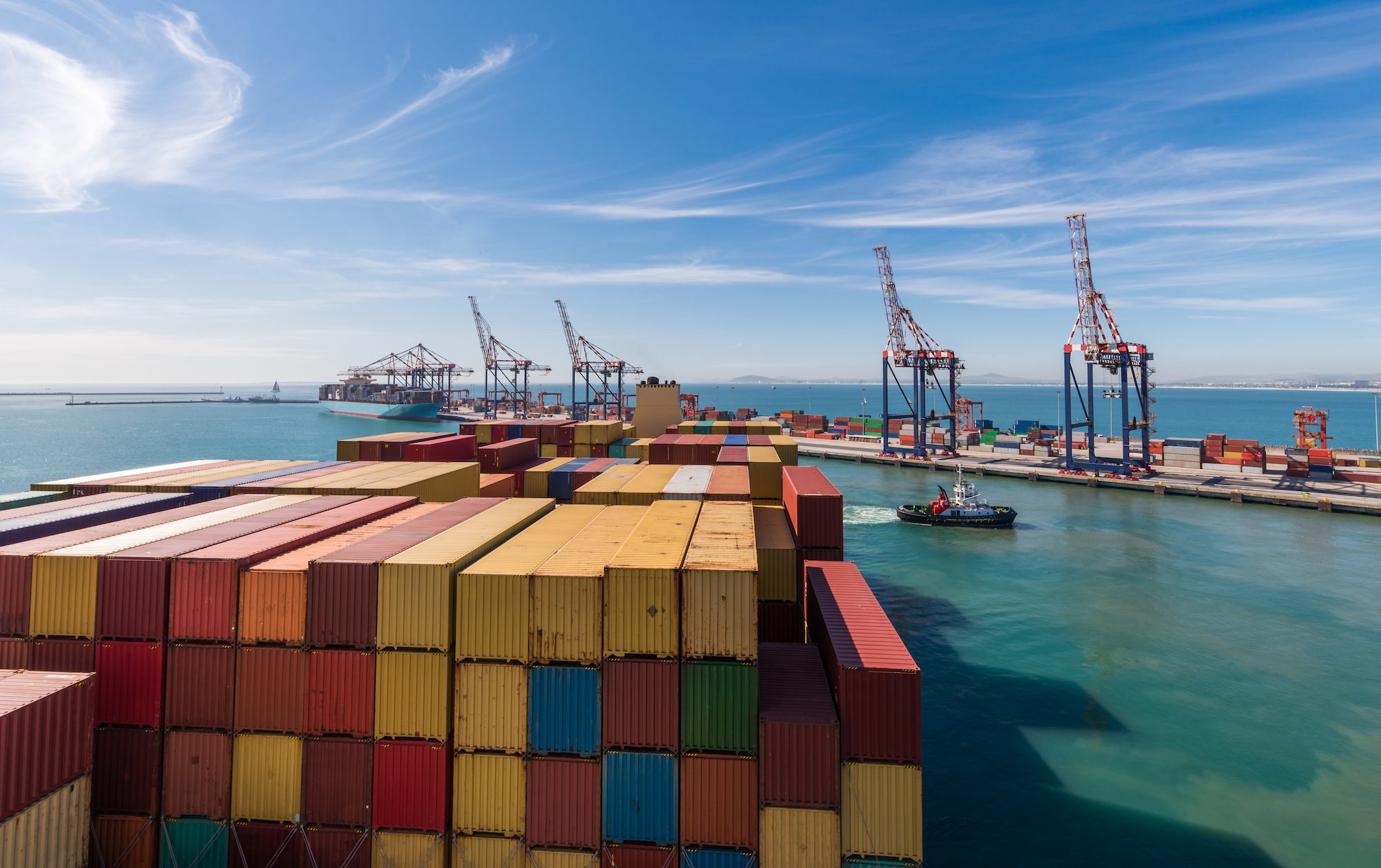
Severe weather conditions near the Cape of Good Hope have brought container traffic to a halt this week, according to analysis by LSEG Shipping Research. Container shipping around the Cape...
July 10, 2024
Total Views: 5476
Get The Industry’s Go-To News
Subscribe to gCaptain Daily and stay informed with the latest global maritime and offshore news
— just like 105,165 professionals
Secure Your Spot
on the gCaptain Crew
Stay informed with the latest maritime and offshore news, delivered daily straight to your inbox
— trusted by our 105,165 members
Your Gateway to the Maritime World!
Essential news coupled with the finest maritime content sourced from across the globe.

 Join The Club