Yesterday we showed you maps of the tsunami created by the February 27th 8.8 magnitude Chilean earthquake. Today we follow up with a collection of videos of the actual tsunami as it reached shores along the Pacific. All videos are aggregated by the International Tsunami Information Centre.
An International Post-Tsunami Field Survey is being coordinated by UNESCO Santiago, ITIC, and local scientists. This Survey will officially start on Monday, March 8. For more information contact the ITIC Director, Laura Kong ([email protected])
The 27 February 2010 magnitude 8.8 Chilean earthquake and tsunami caused damage and over 700 deaths in the coastal regions of central Chile. Following the earthquake, the NOAA Tsunami Warning Centers issued warnings for locations all over the Pacific from Antarctica to Seward, Alaska. As a result of the warnings, although tsunami waves of between 3-6 feet and strong currents were observed in many locations, no lives were lost outside of the epicentral region. Unfortunately, lives were lost due to the tsunami in Pelluhue and Dichato in central Chile and on Robinson Crusoe Island located near the epicenter. The highest tsunami amplitudes, of several meters, were observed in the Juan Fernandez Islands and Talcahuano, Chile. Information is still being gathered and assessed.
According to the National Geophysical Data Center (NGDC, http://www.ngdc.noaa.gov/hazard/) Global Historical Event databases, this is the largest instrumental earthquake observed in Chile since the 1960 magnitude 9.5 Valdivia earthquake and tsunami that killed over 1,200 people, including 60 deaths in Hawaii. Globally, this is the 6th largest instrumental earthquake and one of 280 deadly tsunamis.
Above video:
UH-Hilo professional tripod footage, edited. Wailoa Pond ducks riding waves at 3:13. Time-lapse of (1)Breakwall (2)Wailuku River (3)Coconut Island (4)Wailoa Pond. Covering 11:00 am until 6:30 pm, scenes include Civil Defense, Ponahawai onlookers, logs being carried upriver, & Honolii deserted. Note high-water lines at Bayfront & Suisan. Videographer: Darcy Bevens. For more information about tsunamis, earthquakes, volcanoes, visit our web site at http://www.uhh.hawaii.edu/~nat_haz/
Above: Tributary Quickly Reverses Direction After Hilo “Tsunami” Surge
Above: The fifth small wave to pass through the Heathcote & Avon estuary at Christchurch NZ Occurred at 1750 (local time) 28.02.2010 more than 5 thousand miles from the coast of Chile.
Above: Video of first 3 hours of tsunami inundation at small boat basin entrance of Crescent City harbor (CA). Tsunami produced by M8.8 offshore Chile earthquake.
Note, the tsunami is not a wall of water but a series of long period waves, seen here as strong shifting currents in and out of the small boat basin. The surging and waning portions of the tsunami are about 15 minutes apart. This small boat basin typically has little or no current across the entrance.
A complete list of resources, including additional videos, photos and graphics can be found at the ITIC’s website HERE.
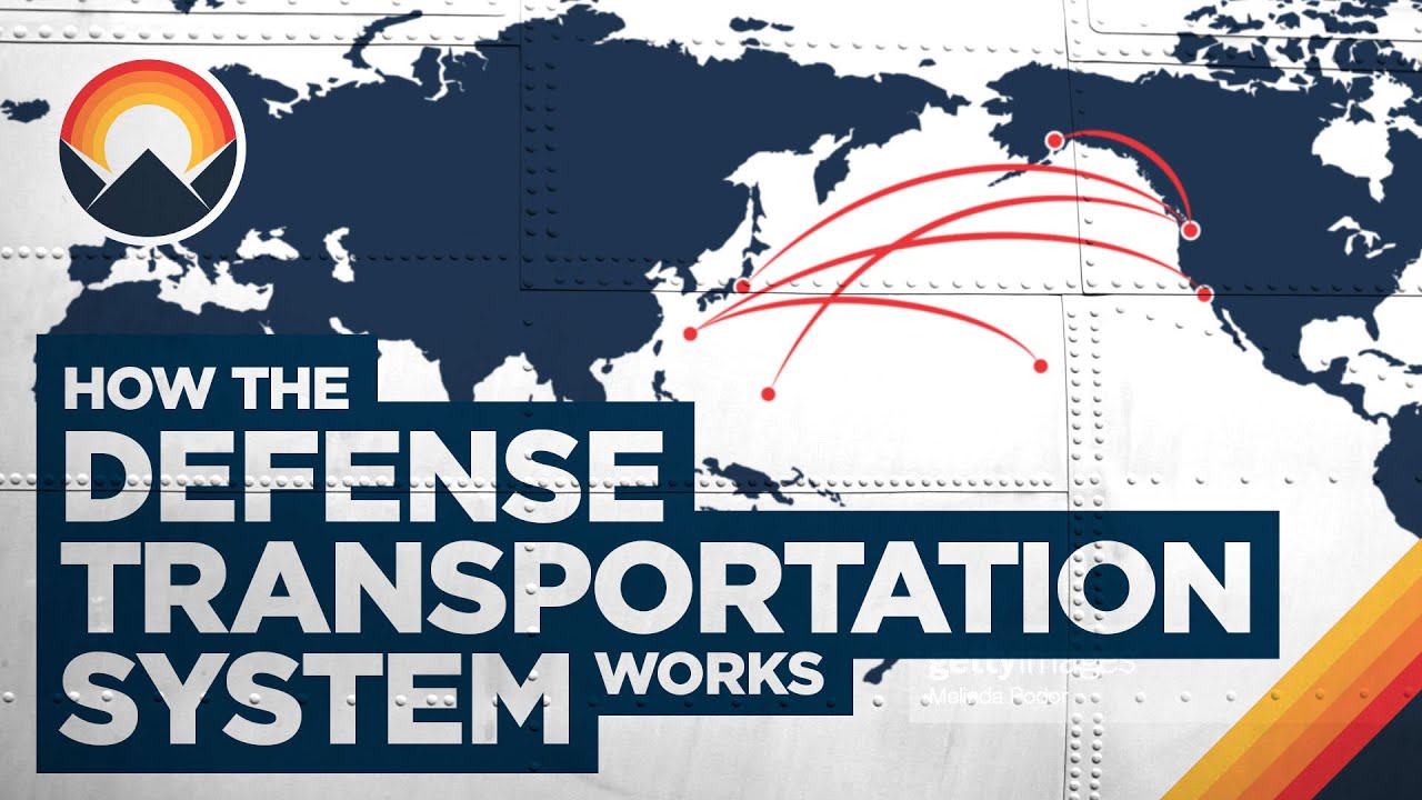
by John Konrad (gCaptain) Contrary to popular belief, Maersk is not the world’s largest shipping company, nor is Delta the world’s largest airline. However, both companies have substantial transportation contracts...
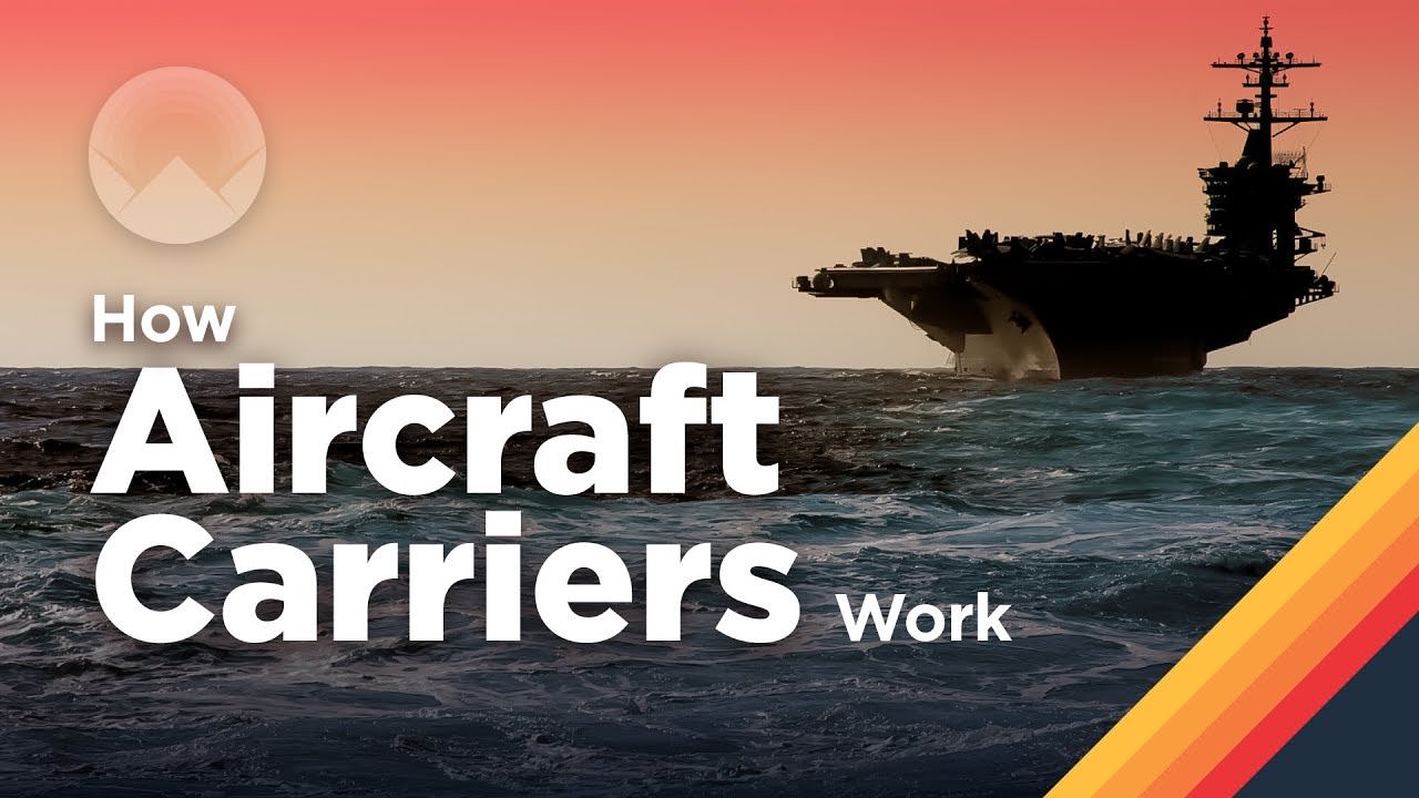
The sight of an aircraft carrier on the horizon can shift not only geopolitical conversations but entire military strategies. For decades, these colossal floating airbases – and the smaller carriers...
By John Konrad (gCaptain) Dr. Salvatore R. Mercogliano, a maritime historian and longtime contributor to gCaptain, recently celebrated a significant milestone for his YouTube channel, “What’s Going On With Shipping,”...
June 26, 2023
Total Views: 1753
Get The Industry’s Go-To News
Subscribe to gCaptain Daily and stay informed with the latest global maritime and offshore news
— just like 105,149 professionals
Secure Your Spot
on the gCaptain Crew
Stay informed with the latest maritime and offshore news, delivered daily straight to your inbox
— trusted by our 105,149 members
Your Gateway to the Maritime World!
Essential news coupled with the finest maritime content sourced from across the globe.

 Join The Club