Join The Club


Interesting
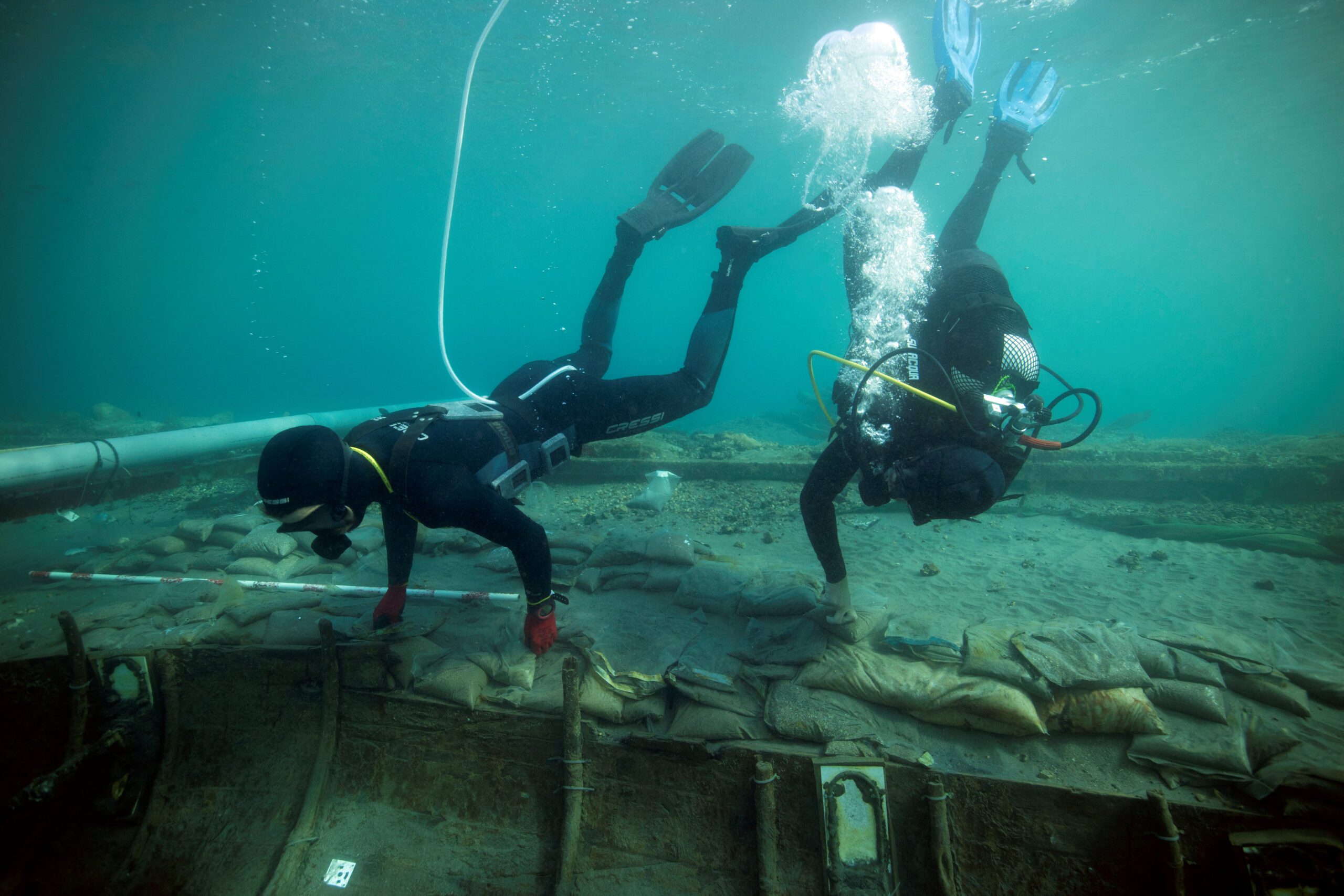
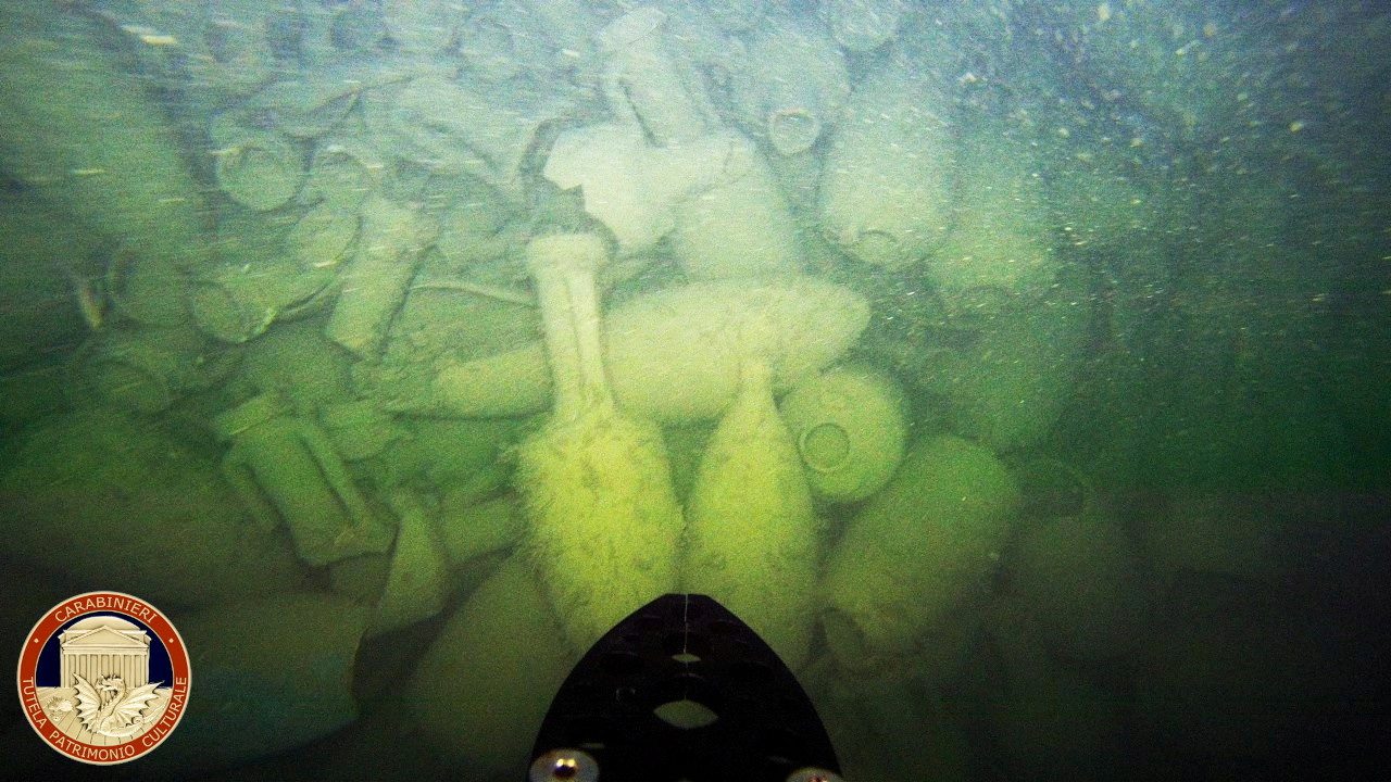
Wreck Of An Ancient Roman Cargo Ship Found Off Rome’s Coast
ROME, (Reuters) – The wreck of an ancient Roman cargo ship from more than 2,000 years ago has been found off the coast near Rome, the arts squad of Italy’s Carabinieri police said on Friday....