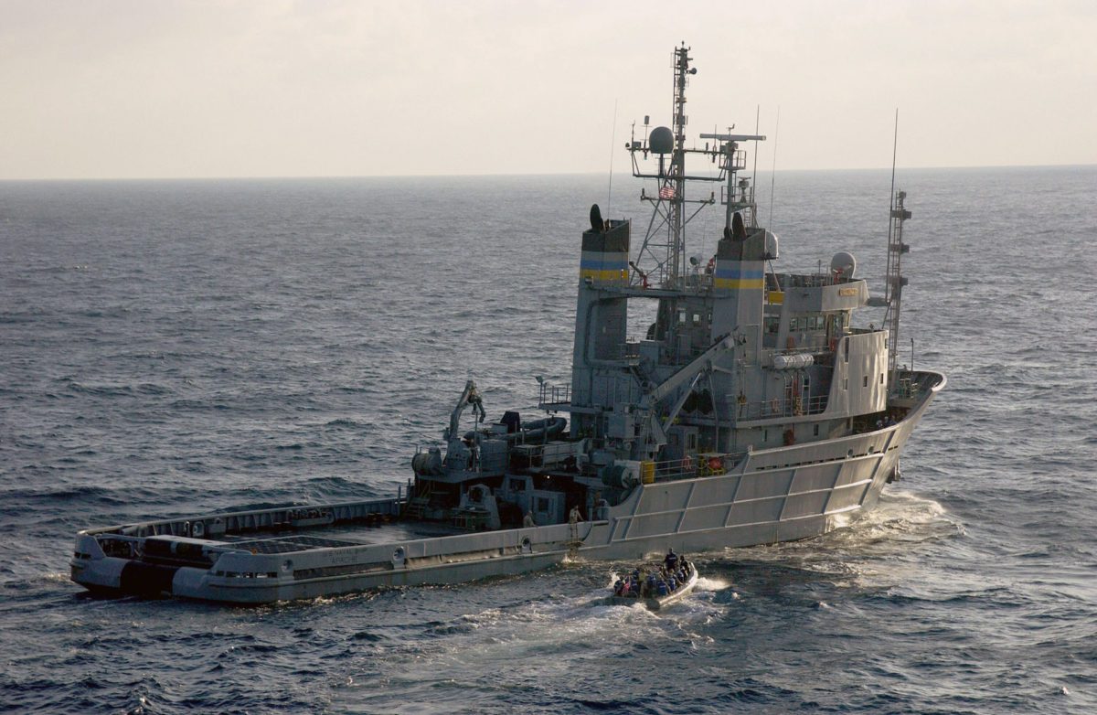
Photo: USNS Apache
A U.S. Navy tug was unable to detect any ‘pings’ from the sunken El Faro cargo ship off the Bahamas and the search has shifted to using side-scan sonar, the U.S. National Transportation Safety Board said in an update Tuesday on its investigation into the ship’s sinking.
As of Wednesday, the first of 13 side scan sonar search lines had been completed also returning negative results, the NTSB said. The second search line began Wednesday.
The USNS Apache arrived at the last known position of the El Faro on October 23 and began searching for the vessel with a Towed Pinger Locator (TPL). The search area consists of a 10 nautical mile by 15 nautical mile area, in which the USNS Apache towed the TPL on 5 search lines across the search area in order to detect the acoustic signal associated with the El Faro’s ‘pinger’, the NTSB said.
The USNS Apache concluded the first phase of the pinger locator search on October 26 with negative results, the NTSB said. The TPL’s ability to detect the El Faro’s pinger may be effected by the orientation of the vessel as it lays on the sea floor or the current condition and functionality of the El Faro’s pinger, according to the NTSB.
The second phase of the search began on October 27 using the Orion side-scan sonar system. The second phase will be conducted over the same search area and consists of 13 search tracks, taking approximately 14 days to complete. The side scan sonar system will be used to locate the El Faro, and if found, create an image of the vessel.
The U.S.-flagged El Faro with 33 crew members is believed to have sunk October 1 after the becoming beset by Hurricane Joaquin as it sailed from Jacksonville, Florida to San Juan, Puerto Rico. All crew members are presumed to have perished in the incident.
Water depth at the ship’s last known location, about 36 nautical miles northeast of Acklins and Crooked Islands, Bahamas, is approximately 15,000 feet.
The U.S. Navy Salvage and Diving division of the Naval Seas Systems Command was contracted to locate the sunken ship, assist in the sea floor documentation of the wreckage, and recover the voyage data recorder.
Unlock Exclusive Insights Today!
Join the gCaptain Club for curated content, insider opinions, and vibrant community discussions.

 Join The Club