
 Join The Club


This post is brought to you by DTN and ABB who will be speaking on these issues at an upcoming webinar hosted by gCaptain on Tuesday, June 22, 2021. You can sign up for free here.
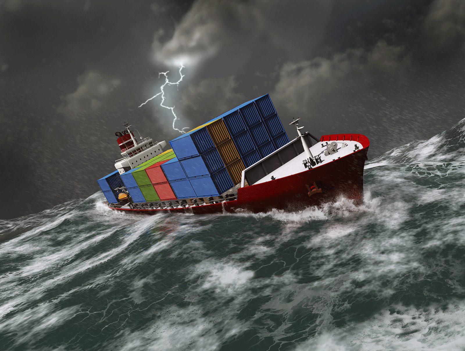
Shipping containers becoming lost at sea is a significant problem for the industry – recent figures from the World Shipping Council state that an average of 1,382 shipping containers are lost at sea every year. However, more than 3,000 containers were lost in 2020 alone, including one vessel that lost 1,900 containers on its way to Kobe, Japan.
The consequences for shipping companies goes beyond goods going overboard. Container loss can incur charges and damage relations with their clients. It puts the safety of the vessel’s crew at risk and causes an environmental hazard. DTN SPOS Seakeeping combines accurate weather forecasting data and with customized vessel performance to help captains avoid putting themselves into situations where they may experience container loss. In this article, we’ll tell you more about it.
How containers get lost at sea
The primary cause of containers becoming lost at sea is adverse weather – and the waves caused by rough weather. The lashing determines whether the containers are kept in place. It has to be strong and tested to withstand specific pressures, but rough weather can exceed these limits.
The effect of waves on cargo varies depending on the type of ship:
Container ships: roll motion causes containers to lose their lashings and either fall into the sea or move around so much it damages the cargo inside
Car carriers: shifting cargo
Bulk carriers: liquefication of the cargo which can be dangerous to the ship
Right now, many shipping companies rely on their captains to interpret weather forecasts and plot routes that minimize the effects of adverse weather while moderating their speed accordingly. Often, it’s done on gut instinct alone.
How SPOS Seakeeping stops containers from getting lost at sea
Introducing Seakeeping
Seakeeping is an add-on to DTN SPOS. It is the only seakeeping solution automated to include weather forecasting and vessel motion forecasting in one user interface.
It works by combining accurate and detailed weather forecasting with hydrodynamic modeling and operational data from each ship to advise captains on the best route. Traditionally, wave and weather conditions determine optimized vessel routes but SPOS Seakeeping factors the vessel’s design and response to meet ocean conditions when determining the best route. This provides a far more precise and safer route advice specifically tailored to the operational limitations of the vessel and avoid weather that can cause a specific ship to shed cargo. It provides captains with this information as early as it can, to enable confident decision-making.
How it works
When a client installs DTN SPOS Seakeeping on a ship, hydrodynamic details of the design of the ship’s hull are provided by the client. DTN and ABB then create a matching model to evaluate how the vessel will deal with the force of waves as they hit. These results are entered into a database installed onboard the ship. With this accurate, personalized information, you can be confident that you are doing as much as you can to safeguard your cargo.
Three out of the five biggest container companies are using SPOS Seakeeping to minimize container loss. Larger companies with similar ships can utilize the 3D version, while new users can get started with the 2D version.
Extra benefits
SPOS Seakeeping doesn’t only help shipping companies stop losing containers at sea. There are multiple benefits to this product:
Economic benefits – Plotting the most efficient route and maintaining a constant speed helps conserve fuel, which is the primary cost for any shipping company.
Time saved – Avoiding rough weather also helps save time and avoid delays in getting to the destination port.
Simple to set up – Seakeeping is easy to add to your existing SPOS product. We estimate that building a hydrodynamics simulation takes around two weeks.
Unburden captains – Being able to access accurate, detailed operational intelligence allows captains to take the gut instinct out of route planning.
Safety – Plotting a route around adverse weather areas minimizes accidents that could be dangerous for your crew.
Find out more
DTN SPOS Seakeeping is the only solution of this type on the market, combining weather data with the unique attributes of each vessel to allow companies to optimize their routes.
Don’t leave the health of your cargo to chance or gut instinct. Let the data point you in the right direction.
Register for DTN ABB webinar to learn “Why are containers lost at sea? And how can you avoid that?
Want a try SPOS Seakeeping? Request a SPOS demo.
Sign up for our newsletter
Stay Informed. Stay Connected.
Get The Daily Insights That Power Maritime Professionals Worldwide
Essential maritime and offshore news, insights, and updates delivered daily straight to your inbox
— trusted by our 104,432 members
Have a news tip? Let us know.
Get The Industry’s Go-To News
Subscribe to gCaptain Daily and stay informed with the latest global maritime and offshore news


