Atlantic 2-Day Graphical Tropical Weather Outlook. Image via NOAA
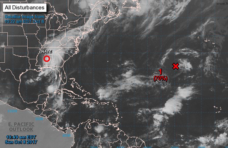
By Rod Nickel (Reuters) – Tropical Storm Nate rapidly weakened as it moved over Alabama on Sunday, although the fast-moving former hurricane rattled the doors of Biloxi’s casinos and left gambling floors and highways in the region flooded after making its landfall in Mississippi.
Related Book: Typhoon and Other Stories by Joseph ConradIts maximum sustained winds dropped to 45 miles per hour (70 km per hour) as it moved northeast into Alabama, prompting the National Hurricane Center to end its tropical storm warning for the region east of the Alabama-Florida border on Sunday morning. Only a few hours earlier it had been blowing at 70 mph (110 km per hour), but Nate appeared to lack the devastating punch of its recent predecessors.
The fourth major storm to strike the United States in less than two months, Nate killed at least 30 people in Central America before entering the warm waters of the Gulf of Mexico and bearing down on the U.S. South. It has also shut down most oil and gas production in the Gulf.
Nate follows a succession of big Atlantic hurricanes, Harvey, Irma and Maria, that have devastated areas of the Caribbean and southern United States in the last two months.
The storm’s center will move inland over Mississippi and across the deep south, Tennessee Valley and Central Appalachian Mountains through Monday, the National Hurricane Center said. Heavy rainfall and storm surge flooding continued to be a danger across the region, the center warned.
Nate made its initial landfall near the mouth of the Mississippi river on Saturday evening and then made a second landfall early on Sunday near Boloxi, Mississippi, where its 46,000 residents were warned that the highest storm surge could reach 11 to 12 feet.
The storm surge brought flood waters over Highway 90 and up to oceanside casinos in Biloxi, while flood waters swept over streets in communities across Mississippi and Alabama, according to reports on social media.
By Leslie Kaufman Jun 20, 2026 (Bloomberg) –The Trump administration is dropping near-term plans to dismantle a $386 million federal ocean-observing system after encountering resistance from scientists and Congress. Read Also: U.S....
A powerful and rapidly intensifying storm system over the North Atlantic is generating hurricane-force winds and enormous seas, prompting urgent warnings from U.S. forecasters for mariners operating in the region....
By Neil Jerome Morales Nov 9, 2025 (Bloomberg) –Super typhoon Fung-Wong hit the Philippines’ northeast late on Sunday with 185 kilometers per hour (115 miles per hour) winds and gusts of...
November 9, 2025
Total Views: 1114
Get The Industry’s Go-To News
Subscribe to gCaptain Daily and stay informed with the latest global maritime and offshore news
— just like 104,605 professionals
Secure Your Spot
on the gCaptain Crew
Stay informed with the latest maritime and offshore news, delivered daily straight to your inbox
— trusted by our 104,605 members
Your Gateway to the Maritime World!
Essential news coupled with the finest maritime content sourced from across the globe.

 Join The Club