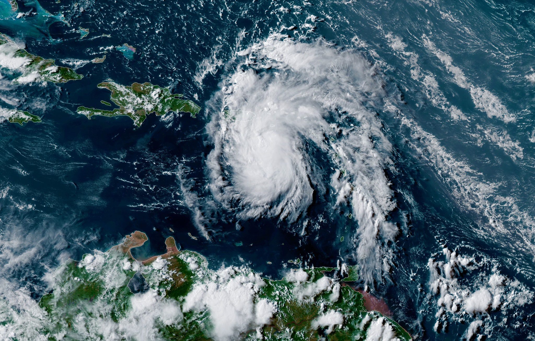
The U.S. Coast Guard and maritime interests in Puerto Rico and the U.S. Virgin Islands are watching the development of Potential Tropical Cyclone Six as the disturbance approaches the area.
Heavy rainfall and winds up to 35 miles per hour are expected Tuesday afternoon for the U.S. Virgin Islands and Tuesday evening for Puerto Rico.
At this time, based on the current strength and trajectory of Potential Tropical Cyclone Six, the Captain of the Port San Juan is not elevating the port readiness condition in Puerto Rico or the U.S. Virgin Islands. As such, port cargo operations and vessel movements may continue until further notice.
As a precaution, Sector San Juan is encouraging waterfront facilities and vessels to follow their established procedures for inclement weather and notification procedures for pollution and security incidents that may result.
As conditions may change rapidly, the maritime industry is encouraged to frequently check Sector San Juan’s Homeport website for the most up to date information and changes in port condition status.
“It is important for the maritime industry to stay focused on conducting safe operations and vessel movements within the port,” said Capt. Gregory H. Magee, Coast Guard Captain of the Port San Juan. “As the storm approaches, we stand ready to elevate the port condition status as necessary. Recreational boaters and beachgoers should avoid going into the water until weather and sea state conditions normalize.”
A 5 p.m. EDT update from the NWS National Hurricane Center said Potential Tropical Cyclone Six is expected to increase in strength and become a Tropical Storm tonight. When and if that occurs, the storm will be named “Fred”.
A Tropical Storm Warning is in effect for Puerto Rico, including Culebra and Vieques; the U.S. Virgin Islands; and the Dominican Republic on the south coast from Punta Palenque eastward and on the north coast from Cabo Frances Viejo eastward.
As of the 5 p.m. update, the disturbance was centered over the Caribbean Sea about 105 miles (170 km) southeast of Ponce, Puerto Rico, moving toward the west-northwest near 17 mph.
On the forecast track, the disturbance is expected to pass near or over the U.S. Virgin Islands and Puerto Rico tonight, be near or over Hispaniola on Wednesday, and be near the southeastern Bahamas and the Turks and Caicos Islands on Thursday.
Updated: October 23, 2023 (Originally published August 10, 2021)
Editorial Standards · Corrections · About gCaptain

 Join The Club


