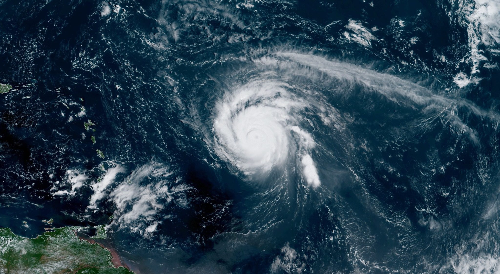
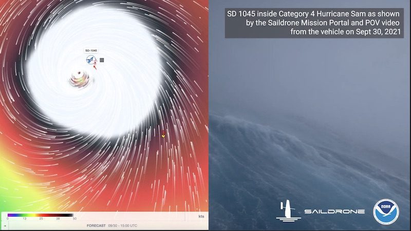
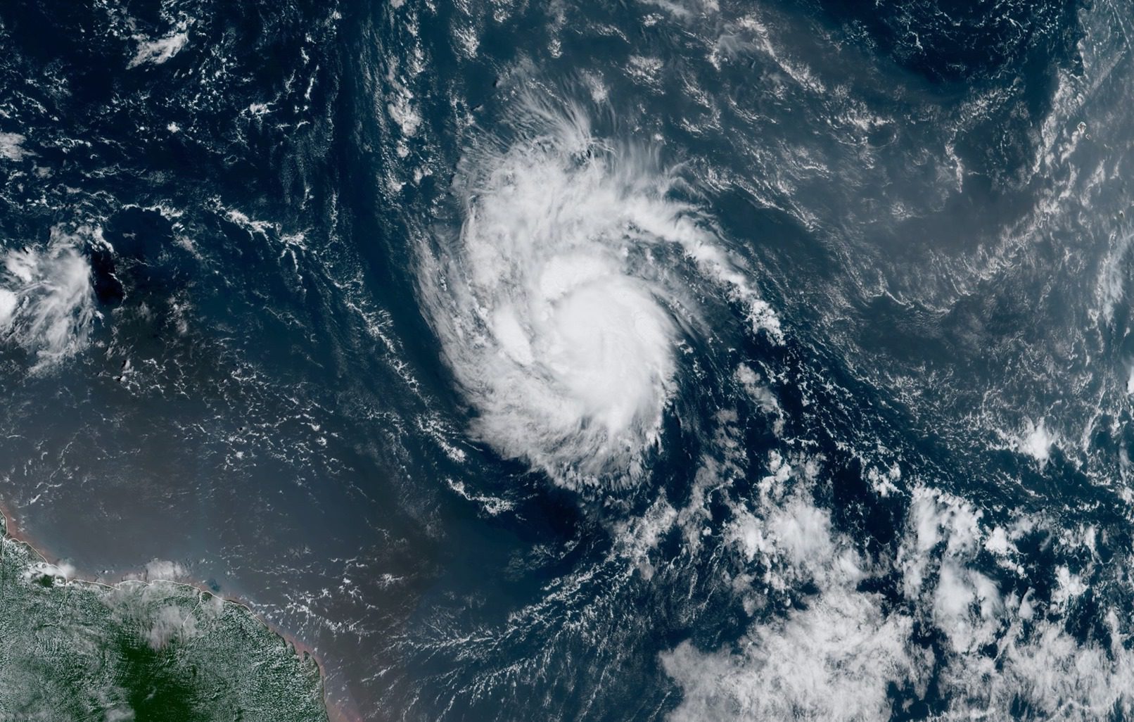
Hurricane Sam continues to churn over the tropical Atlantic Ocean with maximum sustained winds are near 125 mph – a strong Category 3 storm on the Saffir-Simpson Hurricane Wind Scale.
There are no coastal watches or warnings in effect at this time.
An update from the NOAA NWS National Hurricane Center on Monday said that, as of 11 a.m. AST, the center of Hurricane Sam was located about 745 miles east-southeast of the northern Leeward Islands. Sam is moving toward the northwest near 8 mph, which is expected to continue for the next few days before an increase in forward speed beginning on Thursday.
A turn to the north is expected on Friday. On the forecast track, Sam will pass well to the northeast of the northern Leeward Islands Wednesday and Thursday.
With maximum sustained winds are near 125 mph and higher gusts, Sam continues to be classified as a Major Hurricane (111 mph winds or greater). Fluctuations in intensity are possible during the next several days, but Sam is forecast to remain a major hurricane through at least Thursday night, the National Hurricane Center said.
Hurricane-force winds extend outward up to 30 miles (45 km) from the center and tropical-storm-force winds extend outward up to 105 miles (165 km). The minimum central pressure estimated from NOAA Hurricane Hunter aircraft observations is 966 mb (28.53 inches).
According to the NWS National Hurricane Center’s High Seas Forecast (Tropical Atlantic), Sam is producing seas of 12 feet or creating with 120 nautical miles of its center, with the exception of its southeast quadrant, which is producing 40-foot seas within 90 nautical miles of center. The 24-hour forecast is calling for seas up to 41 feet in the southeast quadrant within 90 nautical miles of Sam’s center.
A hurricane hunter aircraft is investigating Sam today.
Over the weekend, people were sharing imagery of Sam’s impressive eye as the storm hit Category 4 strength:
Sign up for our newsletter

 Join The Club


