
 Join The Club


USCG
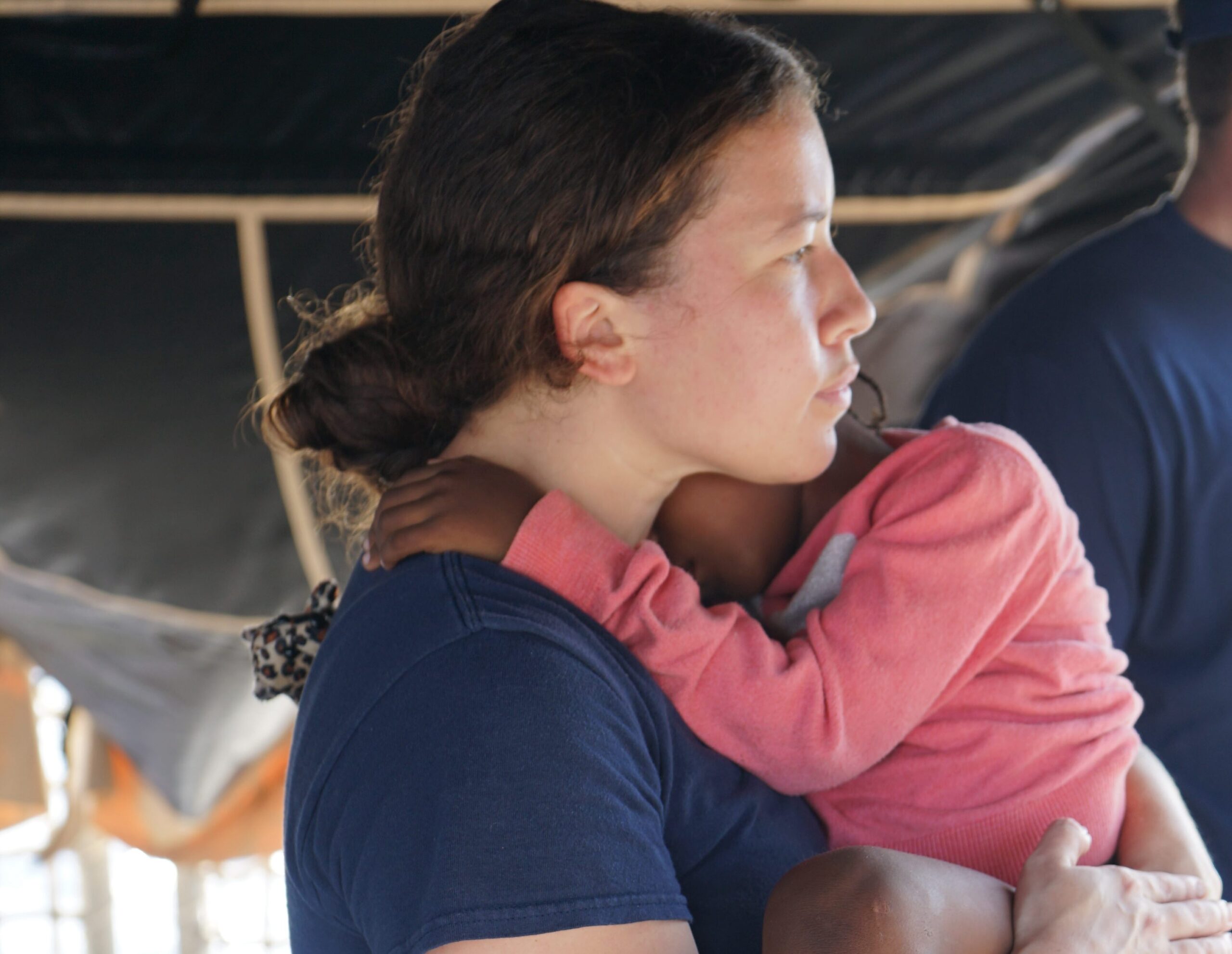
The Harsh Reality of US Coast Guard Migrant Policy
by John Konrad (gCaptain) When merchant and cruise ships rescue migrants at sea, they offer more than just a lifeline from the perilous waters; they provide critical sustenance and care....

Should LRIT replace Amver? This question was raised by Ryan Erickson on the Unofficial Coast Guard Blog. Ryan did a nice job of highlighting many of the features of both systems. Let’s explore things a bit further.
Amver is a global search and rescue system that uses commercial ships to perform rescue operations where traditional resources are unavailable. While voluntary in nature (with minor exceptions) there are over 18,000 vessels enrolled in the system. On average, 3,600 ships are reporting in a 24 hour period.
Amver receives position data from vessels underway and stores that information on a server at the United States Coast Guard Operations Systems Center in West Virginia. The information is only used for search and rescue purposes. While the Coast Guard holds Amverdata, they will share Amver information with any rescue coordination center during actual maritime emergencies.
Amver participation is free to vessels and rescue coordination centers that request the data. Amver costs the United States Coast Guard approximately $2 million annually. Keep in mind these costs can be offset quickly when Amver vessels are used within the United States search and rescue region instead of Coast Guard surface or air assets. According to the Coast Guard’s own standard rates instruction, the cost of a High Endurance Cutter and embarked helicopter can exceed $27,000 an hour. The Amver system can quickly pay for itself after only a handful of cases each year.
Amver also collects more information than LRIT. An Amver vessel report contains, at a minimum:
When an Amver ship enrolls, pertinent vessel information is collected such as:
All this information becomes available to search and rescue controllers when they query the Amver system. Amver accepts enrollment from any vessel. It doesn’t matter if the ship is a mega yacht, fishing vessel, cargo ship, cruise ship, or a floating production storage and offloading (FPSO) vessel. Amver has also partnered with Pole Star, a commercial vessel tracking company, to automatically receive vessel position reports from subscribers of their Fleet Management product. This has added over 600 ships to the Amver plot. Finally, Amver has a nearly 51 year history of search and rescue success and international acceptance.
Long Range Identification and Tracking
Long Range Identification and Tracking, also known as LRIT, is a relatively new security and search and rescue system. LRITreporting is required for vessels of 300 gross tons and more, passenger ships, and mobile offshore drilling units. Several entities will have access to LRIT data including flag states, port states, and coastal states. Vessel data transmitted automatically are:
LRIT data can be used for search and rescue purposes at no charge to the requesting organization. If a coastal state wants to use LRITdata for any purpose other than rescue (coastal states may requestLRIT data up to 1,000 nautical miles from their shores) they will have to pay for that data. Additional charges are incurred if the polling feature of LRIT is used.
Complementary, Not Competitive
Amver and LRIT are complementary systems. A display of LRITvessels provides one view of the maritime domain. Combining available Amver vessels gives a search and rescue controller an additional “layer” of information. When you add more layers, such as AIS data, a more complete picture is obtained.
So, should LRIT replace Amver? No. Will vessel tracking technology evolve past the current model of voluntary manual reporting? Perhaps. Is there a system that will provide search authorities a complete picture of the maritime domain? Not yet.
Amver will continue to provide search and rescue authorities the information they need to save lives. Amver data, when combined with other vessel position information, helps determine the best resource to divert in a maritime emergency.
Have you used LRIT data for search and rescue or security? What do you think of the system?
If you want to learn more about the Coast Guard’s efforts in maritime domain awareness read this iCommandant post by Mr. Dana Goward, USCG Director of Assessment, Integration and Risk Management.
Note: This article was originally published on AMVER’s official blog. You can read more about AMVER on their blog, via twitter or on their homepage.
Join the gCaptain Club for curated content, insider opinions, and vibrant community discussions.
Join the 105,943 members that receive our newsletter.
Have a news tip? Let us know.
by John Konrad (gCaptain) When merchant and cruise ships rescue migrants at sea, they offer more than just a lifeline from the perilous waters; they provide critical sustenance and care....

by John Konrad (gCaptain) A source close to the investigation has informed gCaptain that Edgar Sison will relinquish his engineering officer license following allegations of sexual assault raised by the...
The United States Coast Guard is in talks with Pacific Island countries to expand its maritime law enforcement role by allowing U.S. officers to board and search vessels suspected of illegal activity...


Access exclusive insights, engage in vibrant discussions, and gain perspectives from our CEO.
Sign Up

Maritime and offshore news trusted by our 105,943 members delivered daily straight to your inbox.
Essential news coupled with the finest maritime content sourced from across the globe.
Sign Up
