By Arian Campo-Flores, Valerie Bauerlein and Mike Esterl, Dow Jones & Co
Hurricane Irene thrashed the Bahamas early Thursday, with widespread damage reported on at least two southern islands. The storm is threatening to pummel the Eastern Seaboard over the next several days as far north as Maine.
Thousands were fleeing an exposed strip of coastal villages and beaches off the North Carolina coast and dozens of Navy ships were ordered to head out to safer waters. An evacuation order took effect for an estimated 150,000 tourists in coastal Dare County, N.C., hours after forecasters issued a hurricane watch for much of the state’s coast.
A tropical storm watch was issued for much of South Carolina’s coast. A watch means hurricane conditions are possible within 36 hours.
It is a powerful Category 3 hurricane with winds at 115 miles an hour. Forecasters said the winds will ramp up quickly over the next day and Irene was expected to become a Category 4 storm with winds at least 131 mph. At 5 a.m. EDT, Irene was located about 80 miles east-southeast of Nassau, and some 735 miles south of Cape Hatteras, N.C.
Forecasters also said it was still unclear whether the major hurricane would score a direct hit on the U.S.—including possible landfall Saturday in North Carolina—or stay offshore as it races up the coast, lashing several states with dangerous surf, powerful winds and heavy rain.
Irene could hit North Carolina’s Outer Banks on Saturday afternoon. But pinpointing Irene’s exact path over the next several days is difficult, particularly because the storm is on course to hug the U.S. coastline, forecasters said. Variables such as wind shear, clashing air-pressure systems and warm-water pockets could push the storm farther east or west, potentially spelling the difference between light wind and rain or major destruction along a coastline.
“A shift in the track by as little as 10 miles or 40 miles can make a huge impact,” said Timothy Schott, a senior meteorologist at the National Weather Service.
Meanwhile, a new tropical depression formed far out over the Atlantic early Thursday, with the National Hurricane Center saying it would likely become a tropical storm later in the day.
Authorities have improved their ability to forecast the path of a storm’s center, but still report “tracking errors” in such efforts. Officials have roughly halved the average tracking error for 24-hour forecasts in recent years, from almost 100 miles in the 1990s, for Atlantic tropical storms and hurricanes.
But the average tracking error over the past decade for 48-hour and 72-forecasts was still about 100 miles and 150 miles, respectively, according to the Miami-based NHC. It only began offering five-day forecasts in 2003, and tracking errors that far out in the future top 200 miles.
A trajectory map by the center on Wednesday indicated Irene could make landfall on any coastal state between North Carolina and Maine. The center of the storm is expected to stay about 200 miles off Florida’s coast on Thursday and Friday.
On Wednesday, islands at the southeastern edge of the Bahamas archipelago felt the full force of the storm.
Roofs were torn off homes and trees littered the streets on the small island of Mayaguana, about halfway between South Florida and Puerto Rico, said Capt. Stephen Russell, director of the Bahamas National Emergency Management Agency. Major damage to buildings also was reported on the nearby islands of Acklins and Crooked, the agency said.
There were no mass evacuations, but residents in low-lying areas were advised to head to shelters on higher ground, said Mr. Russell. “Persons who built their homes properly and according to building code should be able to withstand” the storm, he said. But those “who tried to shortcut the process could find their homes in jeopardy.”
Most tourists had evacuated Eleuthera Island, which is full of hotels and resorts, said Kingsley Bethel, assistant manager at the Buccaneer Club hotel in Governor’s Harbour, the island seat. Residents put up hurricane shutters and stocked up on food and supplies. “We’re kind of used to it,” said Mr. Bethel. But “when you hear about a hurricane heading this way, you get really prepared.”
North Carolina’s Dare County ordered tourists on Wednesday to evacuate Ocracoke Island, a barrier island on the state’s Outer Banks reachable only by ferry. The order prompted a run on hammocks and swings at Nags Head Hammocks, said Denise Bayley, manager of the shop at Kill Devil Hills.
“People were stopping by on their way out of town,” she said. “It’s strange, because it’s absolutely glorious weather here.”
Ms. Bayley and her staff planned to decide Wednesday night when and if to raise the storm shutters over the windows and secure the hammocks on display outside the store. “Frequently these storms roil up pretty good when they’re coming up the coast, but sometimes they back off a bit,” she said. “That’s what everybody’s hoping.”
Fort Bragg, N.C., has been designated an “incident support base” for the military during the storm, with stockpiles of food, water, vehicles and emergency equipment, said Col. David Lapan, a Pentagon spokesman. About 98,000 National Guard members were potentially available to help in states along the storm’s expected path, from Florida to New England, he added.
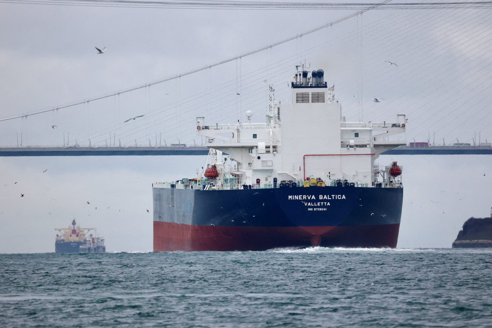
Hurricane Irene is already disrupting schedules for container ships, increasing their costs of fuel and labor. Maersk Line, the shipping arm of Denmark-based A.P. Moller-Maersk, reworked schedules Wednesday of 15 ships carrying everything from grain to video cameras, to try to keep the vessels either comfortably ahead of or behind the storm.
The schedule change adds costs for Maersk because the company has to pay extra labor costs to unload ships at night, and because speeding up the vessels burns more fuel, said Bill Fentress, director of allocation for Maersk Line. “Anything other than the planned schedule is dollars, period,” he said.
Nathan Hodge, Jennifer Levitz, Cameron McWhirter and the Associated Press contributed to this article.
By Daryna Krasnolutska (Bloomberg) Russia and Ukraine may have struggled to shift things significantly on the battlefield for more than 16 months, but a new phase of the war is moving...
(Bloomberg) — Constellation Oil Services Holding SA’s bondholders are reaping a windfall due to increased demand for the company’s offshore rigs from Petroleo Brasileiro SA, a sharp recovery for a...
SINGAPORE, April 11 (Reuters) – Spot marine biofuel premiums have weakened further at the world’s largest bunker hub Singapore, weighed by slow demand, market sources said this week. Premiums for the flagship...
April 11, 2024
Total Views: 245
Why Join the gCaptain Club?
Access exclusive insights, engage in vibrant discussions, and gain perspectives from our CEO.
This website uses cookies to improve your experience while you navigate through the website. Out of these, the cookies that are categorized as necessary are stored on your browser as they are essential for the working of basic functionalities of the website. We also use third-party cookies that help us analyze and understand how you use this website. These cookies will be stored in your browser only with your consent. You also have the option to opt-out of these cookies. But opting out of some of these cookies may affect your browsing experience.
Necessary cookies are absolutely essential for the website to function properly. This category only includes cookies that ensures basic functionalities and security features of the website. These cookies do not store any personal information.
Any cookies that may not be particularly necessary for the website to function and is used specifically to collect user personal data via analytics, ads, other embedded contents are termed as non-necessary cookies. It is mandatory to procure user consent prior to running these cookies on your website.

 Join The Club