ORBCOMM, via partner LuxSpace Sarl (LuxSpace), recently announced a multi-year framework contract to provide satellite Automatic Identification System (AIS) data used for ship tracking and other maritime navigational and safety efforts to the European Maritime Safety Agency (EMSA) for designated regions and specific maritime projects. The framework contract is funded for up to 500,000 Euros (US $625,000) for the first year with options for an additional two years with funding levels yet to be determined.
The contract award was the result of a competitive bid among providers of space-based AIS data service. EMSA determined that the AIS service provided by ORBCOMM and LuxSpace met their operational goals, citing the service offering ‘was the most advantageous in regards of quality price ratio.’
Headquartered in Lisbon, Portugal, EMSA is one of the largest consolidators of AIS data and is responsible for maritime safety, pollution and security on board ships for the European Union and its Member States.
“We are pleased to announce the new EMSA contract, which solidifies our market leadership in providing space-based AIS services,” said Marc Eisenberg, ORBCOMM’s Chief Executive Officer. “This contract award affirms that ORBCOMM’s AIS offering provides the best combination of quality and price available in the market today.”
The Satellite AIS data will be supplied through Vesselsat 1 and 2 owned by LuxSpace and operated within the Orbcomm 2nd generation AIS satellite networt. To further improve ORBCOMM’s global AIS service, eighteen additional AIS-enabled satellites that make up ORBCOMM’s next generation constellation are scheduled to begin launching later this year. These additional satellites will enhance ORBCOMM’s unmatched coverage, highest refresh rates and superior performance.
EMSA plans to use the information to improve European vessel traffic monitoring, streamline the port state inspection process and provide data to a number of smaller EMSA projects. One such project, administered by the European Fisheries Control Agency, is the monitoring of Bluefin Tuna fishing in the Mediterranean Sea and Eastern Atlantic waters.
In response to a formal request from EFCA for monitoring support, EMSA set up a pilot project, called Marsurv-3 on 15 May of this year. The maritime surveillance data provided by EMSA covers six zones of interest in the Mediterranean Sea and combines specific fisheries information with maritime data available provided by EMSA.. The project was developed using the first version of EMSA’s Integrated Maritime Data Platform (IMDatE) and is a good example of how an inter-agency approach of integrating maritime data can bring added value to the end user.
“Our firm aim is to ensure that all fishermen are treated on equal footing and to foster transparency and cooperation in the control and inspection activities between Member States“ said Pascal Savouret, Executive Director of EFCA.
The data provided to EFCA by EMSA is currently gathered via a network of mostly terrestrial based antennas and data system and maritime experts suggest the addition of ORBCOMM’s satellite AIS data will provide a more dense and accurate view of fishing activities including illegal operations which are depleting Bluefin Tuna and other protected fisheries.
The agreement is not the first major announcement of satellite AIS data providers to assist state sponsored projects. In February of 2010 Ontario based exactEarth, announced a $1.4 million contract with the Canadian Space Agency (CSA) to provide space-based Automatic Identification System (S-AIS) data. This contract provided new opportunities for exactEarth which more recently announced $9.4 million in new business for the 2011 fiscal year.
Security, Environmental and Criminal Surveillance
The primary use of AIS data has, so far, been port state control and customs, but this is a result of the limitations of terrestrial based AIS data which has an effective range of only 20-30 nautical miles according to exactEarth’s VP of Global Sales and Marketing, John Allan. Once you extend AIS vessel tracking across the oceans new opportunities emerge including criminal tracking, environmental crime monitoring and anti-piracy surveillance.
ORBCOMM has worked with numerous ship owners around the world to successfully identify the location of hijacked ships, enabling more rapid response from maritime authorities. Post-piracy tracking and reporting via ORBCOMM AIS is also used to identify typical traffic patterns and activities in high-risk areas, which can help local and national security organizations proactively counter piracy hijackings, kidnappings and extortion.
“If you look at the world itself, 84% is unwired, you need space based satellites to survey these regions. 70% of this is oceans. In essence the oceans are black holes in which people can hide and disappear.” said Allan, during a keynote presentation at last week’s GeoMaritime conference in London. “Understanding whats happening (at sea) is becoming crucial from a security perspective.”
The data provided by satellite AIS will likely assist maritime, military and law enforcement agencies in the near future helping to close the “black holes” and, in the near future, allow truly global tracking of not only ships and containers but also people.
The Mariner Perspective
Satellite AIS will soon allow not only governments to access historical tracks of ships and people, but will also provide real-time updates across the internet enabling friends and family to receive updates on the progress of individual sailors as they cross oceans. For some mariners location-based messages, send to friends and family via a GMDSS terminal or a satellite tracking device like Yellowbrick, are already available.
Facebook might be next.
The technology is beginning to emerge for a mariner to post his ship’s position to Facebook automatically via devices Yellowbrick and allow friends and family to track their progress across the ocean. These services however, are opt-in meaning the mariner (or company) selects who has access to the position data. With satellite-based AIS systems, the mariner many not have a choice. If satellite AIS information becomes free and ubiquitous across oceans – as it already is near shore – then ex-wives, creditors and everyone else who knows what ship you work on, will have access to your location.
Some Mariners will embrace this technology, but others enjoy the freedom of disappearing from the world once they board a vessel bound for the high sea. Sailors may worry about big-brother monitoring their every move at sea, but the cost to privacy also comes with benefits which every mariner can appreciate.
Benefits like enhanced SAR.
Excellent programs like AMVER track ships on a true global scale and use the information to provide search and rescue assistance to vessels well beyond Coast Guard helicopter range. Might programs like this benefit from improved, real-time, data?
Orbcomm thinks so.
For vessels in distress, the company’s AIS service can identify exactly where a vessel is located anywhere in the world even if it continues to drift from the distress location. Access to accurate, reliable and timely data about the position and status of a vessel and its crew can greatly improve response time by focusing search and rescue resources to a specific area and enhancing overall rescue coordination.
Most importantly, satellite AIS data can help minimize damage to and loss of the vessel, potentially saving lives. This service is can also track rescue teams and reduce the risk to rescuers, especially in harsh weather environments. Maritime authorities in Australia have already used ORBCOMM’s AIS service in search and rescue operations to identify and request nearby vessels to help other vessels in distress.
A 2009 report from the Australian Maritime Safety Authority explains how satellite AIS data was used to “identify a merchant ship not otherwise known to RCC Australia”. The AIS data was then used to direct the ship to the scene of a yacht in distress off the northern Australia coast, where two people were rescued.
“We are proud that ORBCOMM’s satellite AIS receivers were able to collect messages from the low-wattage search and rescue transponders.” said Marc Eisenberg, Chief Executive Officer of ORBCOMM. “The fact that our satellite AIS capability is saving lives is a testament to the reliability of our satellite AIS technology and can significantly benefit SOLAS (Safety of Life at Sea) in the future.”
Many countries have fallen behind in the maritime information space race which leads to the question… will the United States, and other countries with large commercial fleets and deepwater fisheries like Japan, follow suit?
Related Video
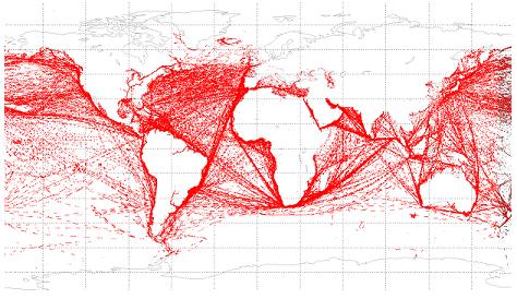
The following video shows an overview of ORBCOMM AIS coverage across the globe:
Earth’s VP of Global Sales and Marketing, John Allan, gives a keynote presentation at GeoMaritime 2012 discussing advances in detection and applications of Satellite AIS:
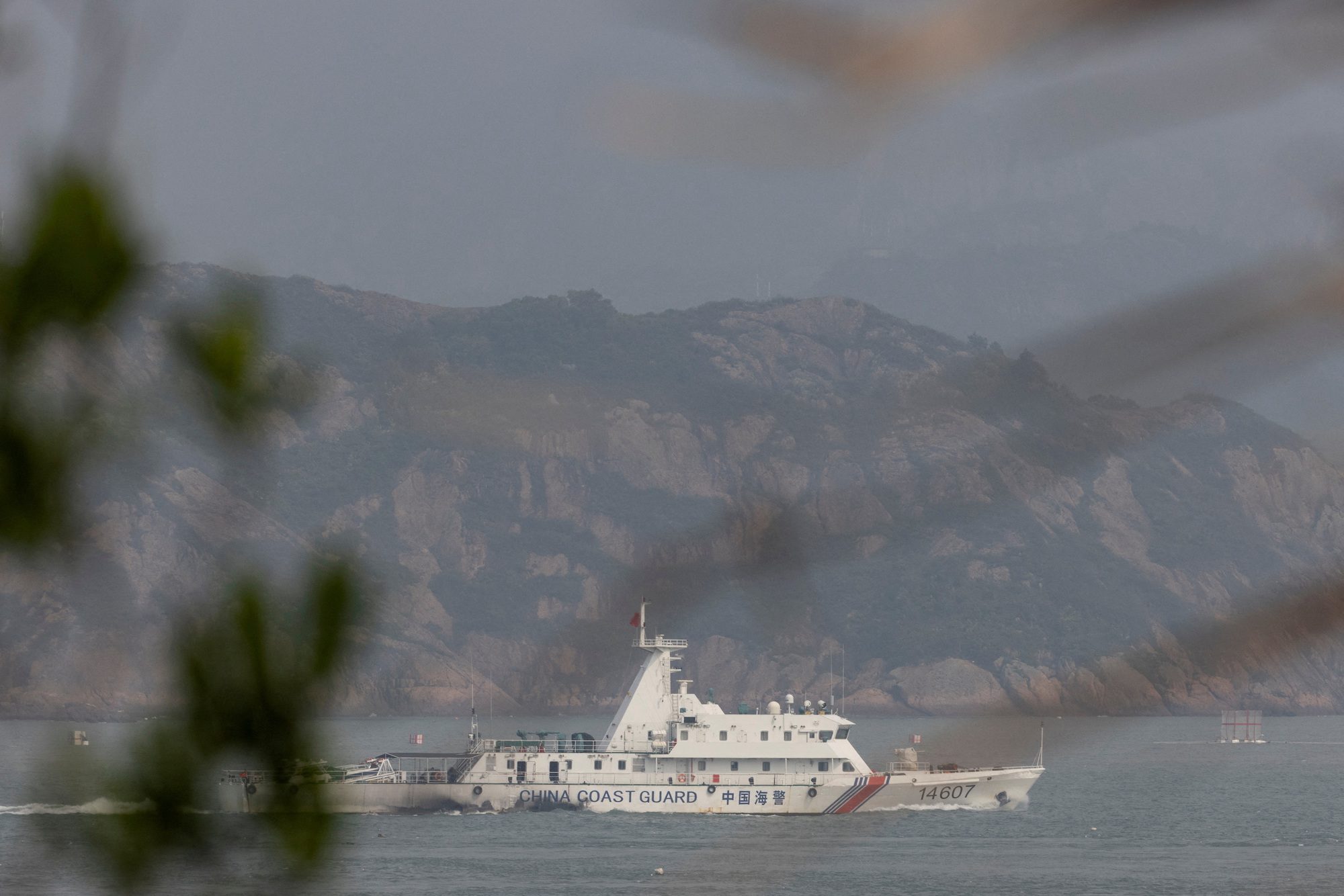
By Yimou Lee TAIPEI, March 7 (Reuters) – China has stepped up grey-zone warfare against Taiwan, aiming to make the areas around the democratic island “saturated” with balloons, drones and civilian boats,...
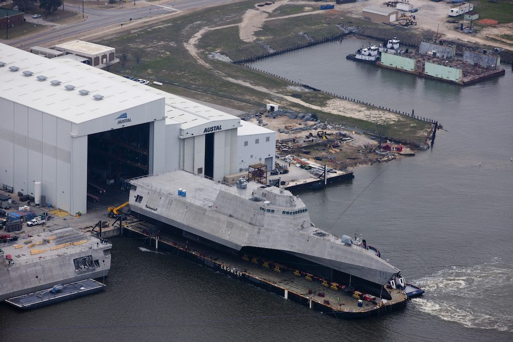
Austal USA has kicked off plans to construct a new manufacturing facility, marking a significant expansion of its shipyard capacity in Mobile, Alabama in support of U.S. Navy and Coast...
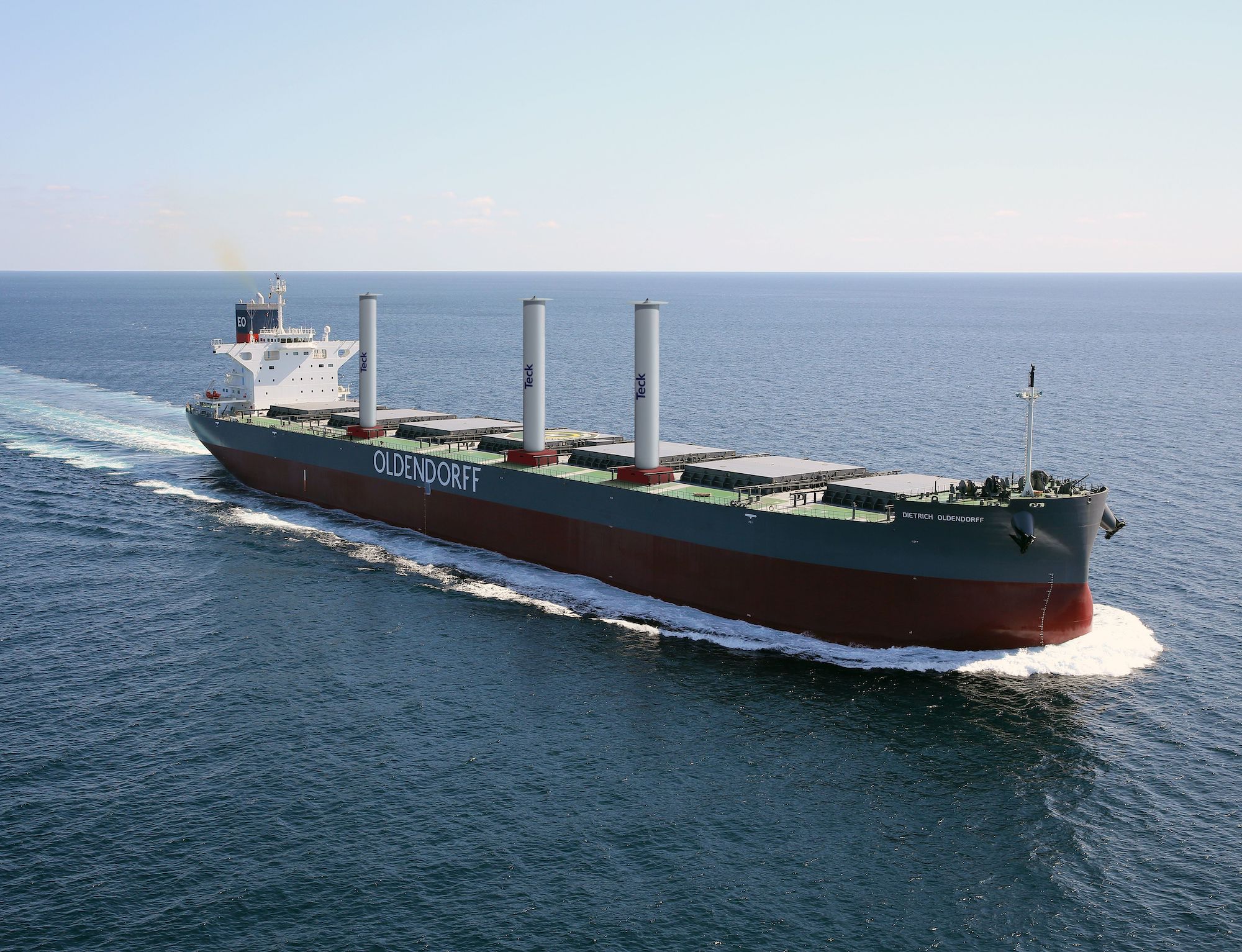
Oldendorff and Norsepower have announced an agreement to install three Norsepower Rotor Sails™ on board a modern bulk carrier to reduce its emissions. The vessel, Dietrich Oldendorff, will be equipped...
February 5, 2024
Total Views: 846
Why Join the gCaptain Club?
Access exclusive insights, engage in vibrant discussions, and gain perspectives from our CEO.
This website uses cookies to improve your experience while you navigate through the website. Out of these, the cookies that are categorized as necessary are stored on your browser as they are essential for the working of basic functionalities of the website. We also use third-party cookies that help us analyze and understand how you use this website. These cookies will be stored in your browser only with your consent. You also have the option to opt-out of these cookies. But opting out of some of these cookies may affect your browsing experience.
Necessary cookies are absolutely essential for the website to function properly. This category only includes cookies that ensures basic functionalities and security features of the website. These cookies do not store any personal information.
Any cookies that may not be particularly necessary for the website to function and is used specifically to collect user personal data via analytics, ads, other embedded contents are termed as non-necessary cookies. It is mandatory to procure user consent prior to running these cookies on your website.

 Join The Club


 The primary use of AIS data has, so far, been port state control and customs, but this is a result of the limitations of terrestrial based AIS data which has an effective range of only 20-30 nautical miles according to exactEarth’s VP of Global Sales and Marketing, John Allan. Once you extend AIS vessel tracking across the oceans new opportunities emerge including criminal tracking,