Join The Club


Uncategorized
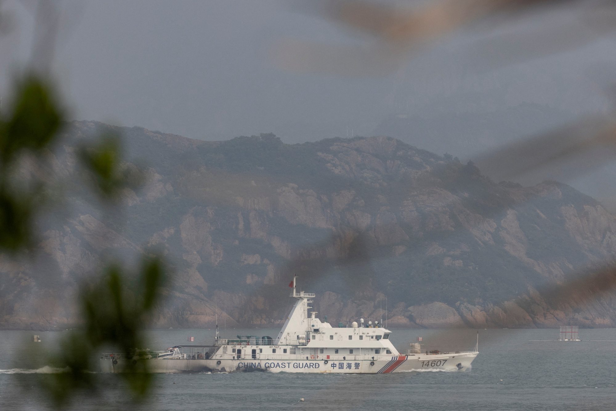
China Steps Up Grey-Zone Warfare to Exhaust Taiwan, Report Says
By Yimou Lee TAIPEI, March 7 (Reuters) – China has stepped up grey-zone warfare against Taiwan, aiming to make the areas around the democratic island “saturated” with balloons, drones and civilian boats,...