It is obvious that NOAA has some of the most comprehensive and accurate information for predicting weather available to the public. NOAA’s National Weather Service, among its various other organizations, aims to provide people with vital information needed to make educated decisions in order to protect themselves and their property. NOAA also plays a significant to role in protecting the U.S. economy and supporting marine commerce. It is estimated that NOAA’s products and services affect more than one-third of America’s gross domestic product.
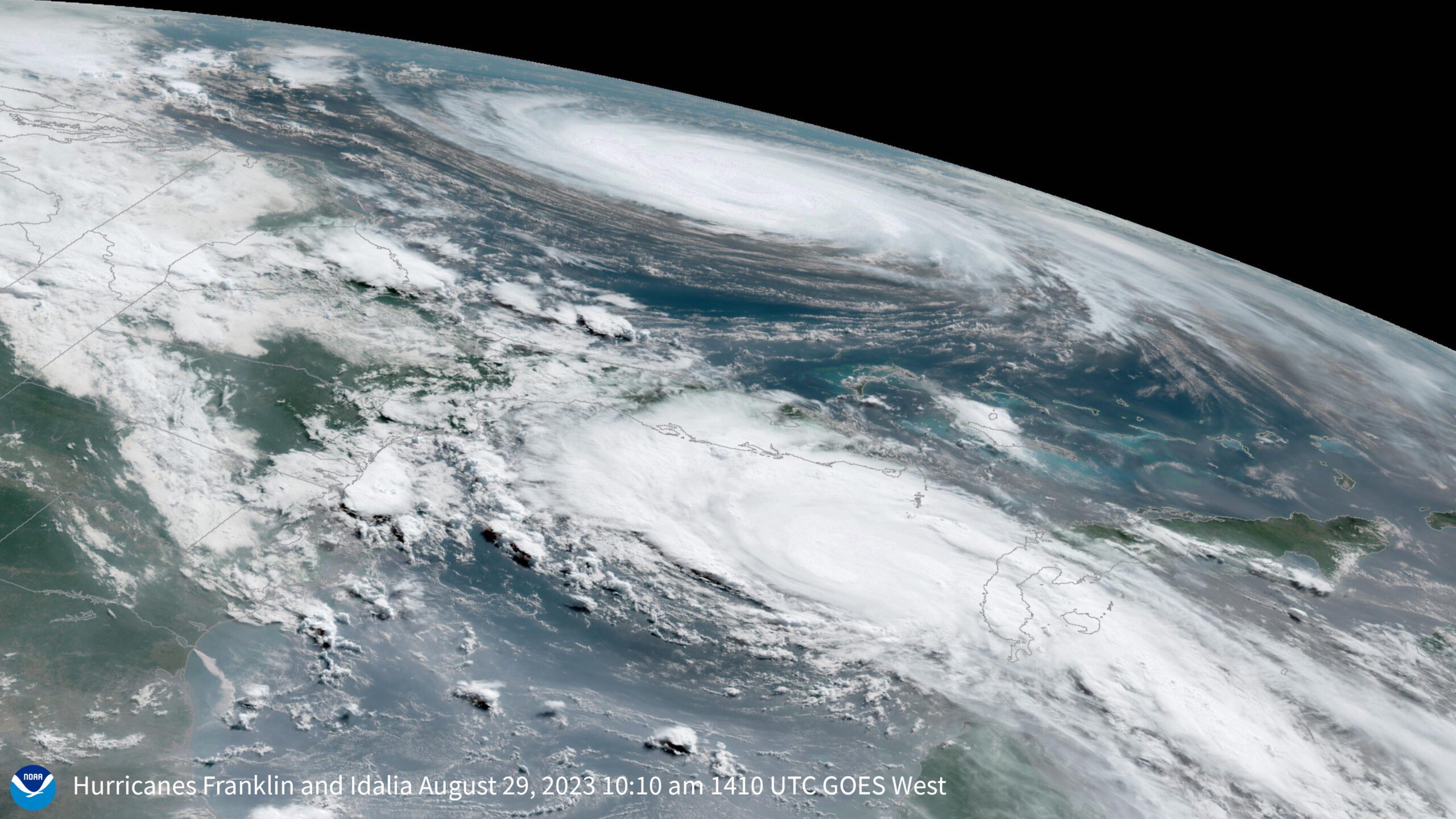
With the 2008 Hurricane currently in full swing, I am sure NOAA and its National Hurricane Center have been extremely busy trying to provide the best information so people can stay safe, especially along the coast. With that in mind, NOAA reminds us of another weapon in their arsenal to help prepare for these dangerous storms and that is their Historical Hurricane Tracks website. NOAA’s Coastal Services Center tells us:
“When you know the history of hurricane landfalls in your community, you are better prepared to protect yourself from these potentially devastating storms,” says Margaret Davidson, the director of NOAA’s Coastal Services Center. “Historical Hurricane Tracks is part of a suite of products developed by the Center to help coastal residents, planners, and emergency managers prepare for — and reduce — the impacts of coastal storms.”
The Web site enables users to generate customized maps showing the path of storms that have made landfall in the United States in years past. Users can search by U.S. ZIP code, state or county, latitude and longitude, or a storm’s name or year. Searches can be narrowed to specific storm categories.
Developed by NOAA’s Coastal Services Center in partnership with NOAA’s National Hurricane Center, the site contains more than 150 years of Atlantic hurricane data and nearly 60 years of Eastern North Pacific Ocean data, which may be downloaded for use in geographic information system applications. The site also links to detailed reports on the life history and effects of U.S. tropical cyclones since 1958.
NOAA aims to provide everyone with the most reliable information, both forecasted and historical, in order to make the best decisions for protecting property and enhancing public safety. By utilizing all the products and services that NOAA has to offer, communities in harms way can make the most educated decisions in reducing risk from these dangerous coastal storms.
The 2024 Atlantic hurricane season is expected to be exceptionally active, according to researchers at Colorado State University. In their initial forecast, they predict 11 hurricanes, marking the highest prediction...
by Murray Scown, Lund University and Frances Eleanor Dunn, Utrecht University (TheConversation) Perilously situated between rising sea levels and pressures from upstream lie coastal river deltas and their roughly half...
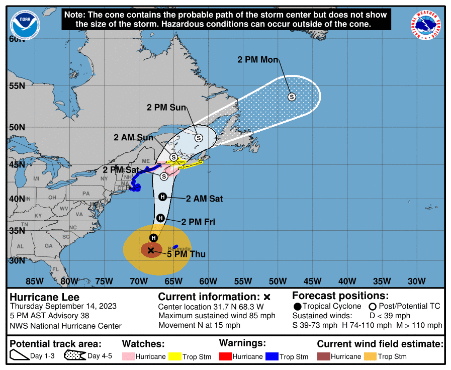
A Hurricane Warning remains in effect for the Atlantic High Seas associated with Hurricane Lee with peak seas of around 47 feet near the center as the system moves slowly...
September 14, 2023
Total Views: 4080
Why Join the gCaptain Club?
Access exclusive insights, engage in vibrant discussions, and gain perspectives from our CEO.
This website uses cookies to improve your experience while you navigate through the website. Out of these, the cookies that are categorized as necessary are stored on your browser as they are essential for the working of basic functionalities of the website. We also use third-party cookies that help us analyze and understand how you use this website. These cookies will be stored in your browser only with your consent. You also have the option to opt-out of these cookies. But opting out of some of these cookies may affect your browsing experience.
Necessary cookies are absolutely essential for the website to function properly. This category only includes cookies that ensures basic functionalities and security features of the website. These cookies do not store any personal information.
Any cookies that may not be particularly necessary for the website to function and is used specifically to collect user personal data via analytics, ads, other embedded contents are termed as non-necessary cookies. It is mandatory to procure user consent prior to running these cookies on your website.

 Join The Club