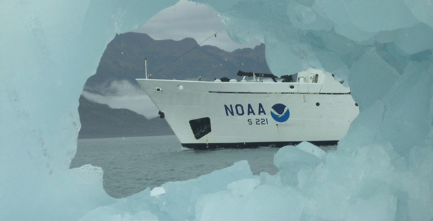
NOAA Ship Rainier has begun a month-long survey of the sea floor near Alaska’s Prince of Wales Island as part of a multi-year effort to update nautical charts for the area. The 231-foot hydrographic survey vessel will also support marine ecosystem studies and improve flooding models for areas vulnerable to tsunamis.
“We are pleased to return to Alaska to continue these important surveys, which will ensure the safe navigation of mariners who rely on the area’s waters for fishing, cargo delivery and recreational uses,” said NOAA Corps Capt. Donald Haines, commanding officer of NOAA Ship Rainier and the ship’s chief scientist.
NOAA’s survey effort in the area began in 2006 with the Gulf of Esquilbel and has continued south over recent years. Rainier’s sonar systems enable precise measurement of ocean depth and the creation of 3-D digital terrain models of the sea floor that reveals details about the underwater landscape and potential hazards to navigation. The first surveys of the area took place in the early 1900s. Depths then were acquired with lead lines, a method that was accurate at the point of the sounding, but lacked information about the surrounding area.
Commissioned in 1968, Rainier is one of three ships in the NOAA fleet that conduct hydrographic surveys in support of the nautical charting mission of NOAA’s Office of Coast Survey. Rainier last visited the area in 2009 before undergoing a year-long, $13.1-million major repair period during which the ship was outfitted with state-of-the-art equipment to conduct its survey missions with even greater efficiency and accuracy.
Equipped with five 29-foot survey boats and high precision sonar and positioning equipment, Rainier is one of the most productive survey platforms of its type in the world. Rainier’s crew of 50 is comprised of NOAA Corps officers and civilian wage mariners, both licensed and unlicensed. The shiptypicallyoperates eight to nine months of the year in the coastal waters of Alaska and the Pacific Northwest.
Homeported in Newport, Oregon, Rainier is part of the NOAA fleet of ships and aircraft operated, managed and maintained by NOAA’s Office of Marine and Aviation Operations, which includes civilians as well as commissioned officers of the NOAA Corps, one of the seven uniformed services of the United States.
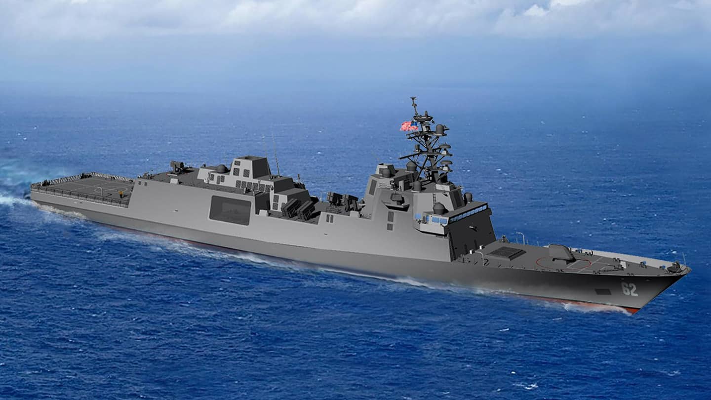
By Tony Capaccio (Bloomberg) — The shipyard producing the US Navy’s new frigate has been hobbled by a failure to “achieve engineering and skilled workforce levels” for the medium-sized vessel, according...
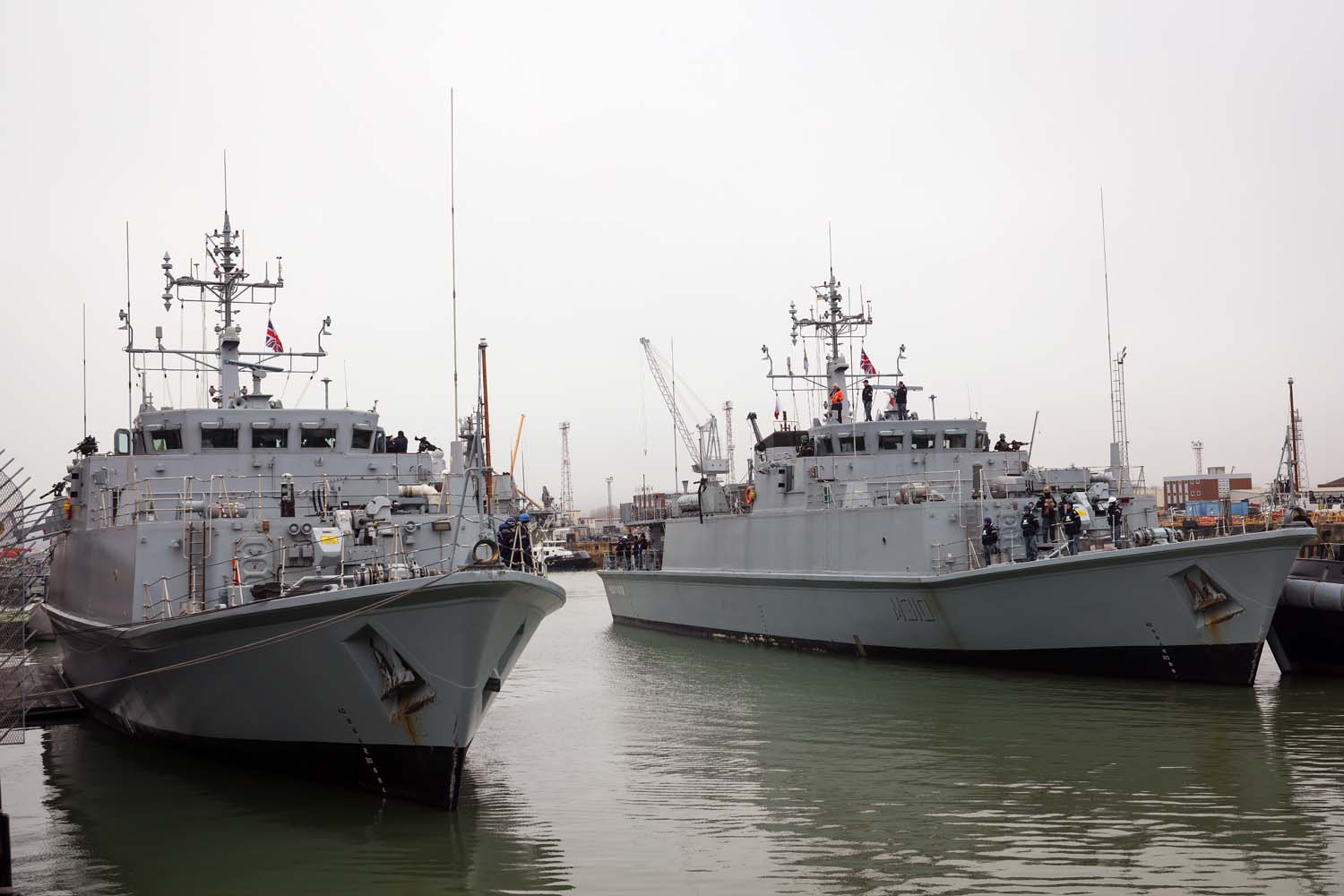
The UK has become the indefinite base for two Ukrainian Navy ships due to Turkey’s blocking of access to the Black Sea amid Russia’s ongoing war in Ukraine. The Sandown-class...
The UK Ministry of Defence announced on Friday that the DragonFire laser weapons system will be operational on Royal Navy warships from 2027, five years earlier than previously planned. This...
April 12, 2024
Total Views: 1754
Why Join the gCaptain Club?
Access exclusive insights, engage in vibrant discussions, and gain perspectives from our CEO.
This website uses cookies to improve your experience while you navigate through the website. Out of these, the cookies that are categorized as necessary are stored on your browser as they are essential for the working of basic functionalities of the website. We also use third-party cookies that help us analyze and understand how you use this website. These cookies will be stored in your browser only with your consent. You also have the option to opt-out of these cookies. But opting out of some of these cookies may affect your browsing experience.
Necessary cookies are absolutely essential for the website to function properly. This category only includes cookies that ensures basic functionalities and security features of the website. These cookies do not store any personal information.
Any cookies that may not be particularly necessary for the website to function and is used specifically to collect user personal data via analytics, ads, other embedded contents are termed as non-necessary cookies. It is mandatory to procure user consent prior to running these cookies on your website.

 Join The Club