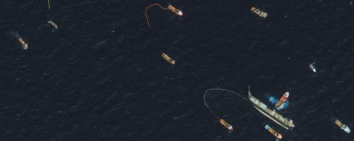
Kongsberg Simrad announced a partnership with Norway to bring Automatic Identification System, AIS, ship tracking beyond its current line of sight (approximately 40 mile) range. With a target date of 2009 this capability will extend government and shipowner’s capabilities to manage ships in the region. Kongsberg tells us:
Studies have been initiated by the Space Centre over the last year to investigate the prospects for building a Norwegian maritime ship tracking satellite. Last fall the Norwegian government issued a broad strategy for the high North where one recommendation is to pursue the space-based AIS initiative.
Space-based AIS is now entering a new phase with the goal to develop a low cost satellite design for an experimental AIS satellite.
A Canadian satellite platform design will be adjusted to carry the Norwegian AIS receiver. The platform will be designed and eventually manufactured and tested by the University of Toronto Space Flight Laboratory.
“Modern technology has made it possible to build very small and capable satellites, which reduces the launch cost considerably,” says Terje Wahl at the Norwegian Space Centre.
Norway is not the first country to develop satellite based ship information and tracking. The Coast Guard has been studying the feasibility of receiving maritime automatic identification system (AIS) signals from space since 2001.  In May 2004 the Coast Guard contracted with ORBCOMM, a satellite data communications company, to develop and build the capability to receive process and forward AIS signals from space via an AIS receiver onboard a communications satellite. In addition, ORBCOMM will provide the ground systems capable of processing the AIS signals and relaying the collected messages to the Coast Guard. The USCG also says:
This line of sight system was originally designed as a collision avoidance tool, but Coast Guard engineers and scientists quickly realized that significant ship tracking capabilities could be accomplished far out to sea if a receiver were placed on a spacecraft.
Studies conducted at Johns Hopkins University in 2003 indicated this concept was feasible, but it was not proven until a Dec. 16, 2006, launch by the Department of Defense of the TACSAT-2 satellite, which was equipped with an automatic identification receiver.
The geeks among us will we interested to know this satellite is running Linux to power the TIE payload, a RF (radio frequency) sensor suite developed by the Naval Research Lab, that is capable of gathering a various radio signals, including AIS (Read more on the actual satellite HERE). One problem, however, is that TACSAT-2 is only capable of providing twice daily updates. Kongsberg, ORBCOMM and others will undoubtedly improve the data collection capabilities in upcoming years.
Resources:
Updated: February 5, 2026 (Originally published August 11, 2009)
Editorial Standards · Corrections · About gCaptain

 Join The Club