
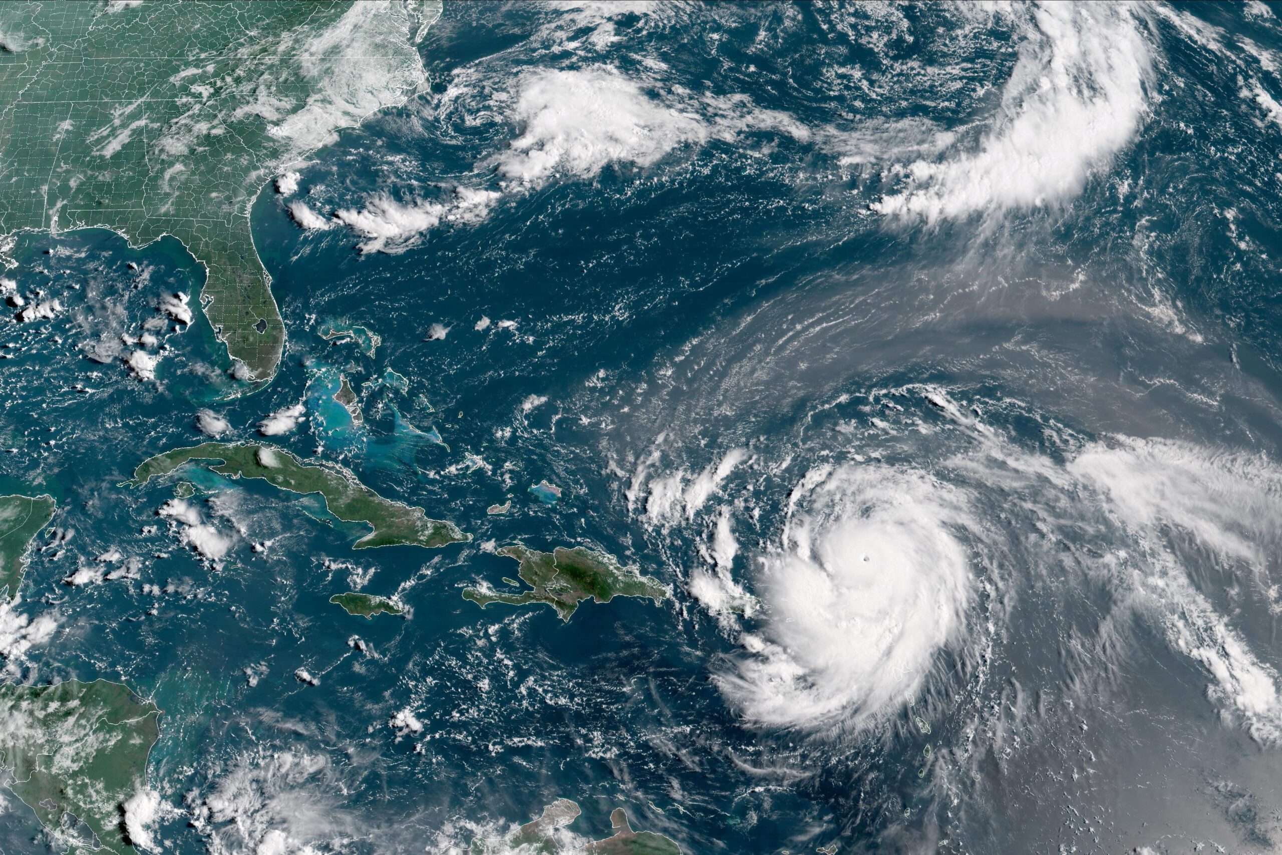
The satellite presentation of hurricane Irene has continued to improve this afternoon. A large area of deep convection with very cold cloud tops has expanded near the eyewall and now solidly surrounds the eye. The air force reserve hurricane hunter aircraft measured a peak 700 mb at flight-level with winds of 116 kt and a measured a minimum pressure of 954 mb. This data support an initial intensity of 105 kt.
Environmental conditions should remain favorable for some additional strengthening during the next day or two. The uw-cimms technique continues to predict a high chance of an eyewall replacement during the next day or so. In fact a trmm microwave pass showed some evidence of a secondary eyeball which can create fluctuations in intensity. For now the new intensity forecast calls for additional strengthening followed by a leveling off of intensity. In three to four days increasing southwesterly shear and cooler sea surface temperatures should induce gradual weakening. But Irene is expected to remain a large and powerful hurricane, or even grow in size, as it nears New England.
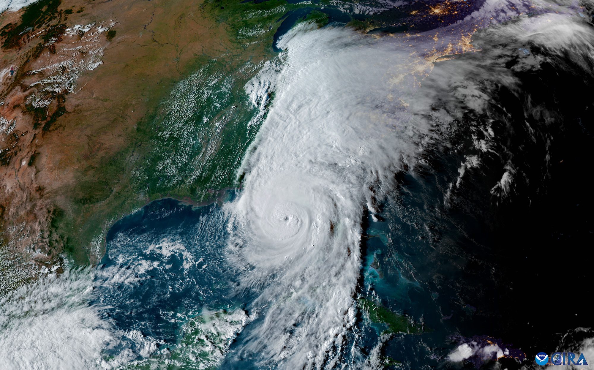
The hurricane has been moving northwestward or 310 at a speed of 10 knots. Irene is expected to turn toward the north-northwest then north during the next couple of days. After that time the hurricane is forecast to turn north-northeastward around the northwestern side of a ridge. Between 72 and 96 hours there remains uncertainty whether Irene will turn back toward the north ahead of a mid-latitude trough. The new European Center for Medium-Range Weather Forecast (ecmwf) shows greater amplification of the trough which has resulted in Irene’s track shifting over 100 miles to the west
Overall, the guidance envelope has shifted a little westward at days 4 and 5. The new track forecast is close to the previous advisory and is between the gfs and ecmwf models. This is also close to the tvca and experimental hurricane forecast improvement project, HFIP, Consensus tracks.
Forecast provided by NOAA with English translation provided by gCaptain. For the full broadcast visit NOAA’s National Hurricane Center forecast discussion page.
Editorial Standards · Corrections · About gCaptain

 Join The Club


