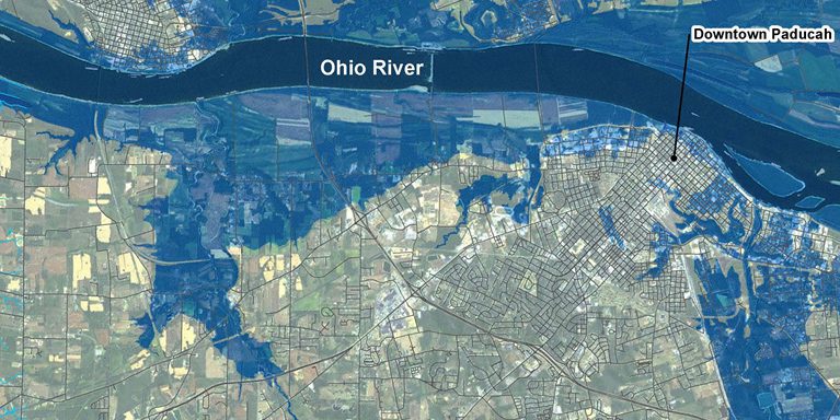
by Karl Plume (Reuters) – The lower Ohio River was closed to navigation on Tuesday at locks and dam 52 in Paducah, Kentucky, due to rising water on the key commodity shipping waterway, shipping industry sources said.
Related Book: Tugboats Illustrated: History, Technology, Seamanship by Paul Farrell It was at least the third closure of that stretch of the river in the past two months and it was not yet known how long the busiest section of the U.S. inland waterways system would remain closed, they said.
A queue of 22 towboats hauling 209 barges loaded with commodities such as coal, grain, fertilizer and steel were waiting to pass through the area on Tuesday afternoon, according to U.S. Army Corps of Engineers data.
That queue is expected to build as more vessels arrive during the temporary closure.
The Army Corps, which manages and operates the facility, halted locking of vessels through its two lock chambers because the river’s water level had risen too high following recent rains, shippers said.
Most vessels would normally be able to pass over the lowered wicket dam during high-water periods, but a rock dike that was installed in the river as part of an emergency dam repair this autumn is preventing boats from safely passing, they said.
Army Corps crews will begin working to remove the dike on Wednesday or Thursday, a process that may take several days, American Commercial Barge Lines said in a daily industry report.
The U.S. Army Corps of Engineers could not be immediately reached for comment.
The Ohio River at Paducah has risen more than 3 feet (91 cm)in the past week to a gauge reading of 16.6 feet (5.06 meter), and is expected to peak at 24 feet (7.32 meter) next Tuesday, according to the latest National Weather Service river forecast. The gauge does not represent the river’s depth at that site but is instead used to measure water level changes over time.
Reporting by Karl PlumeEditing by G Crosse and Sandra Maler
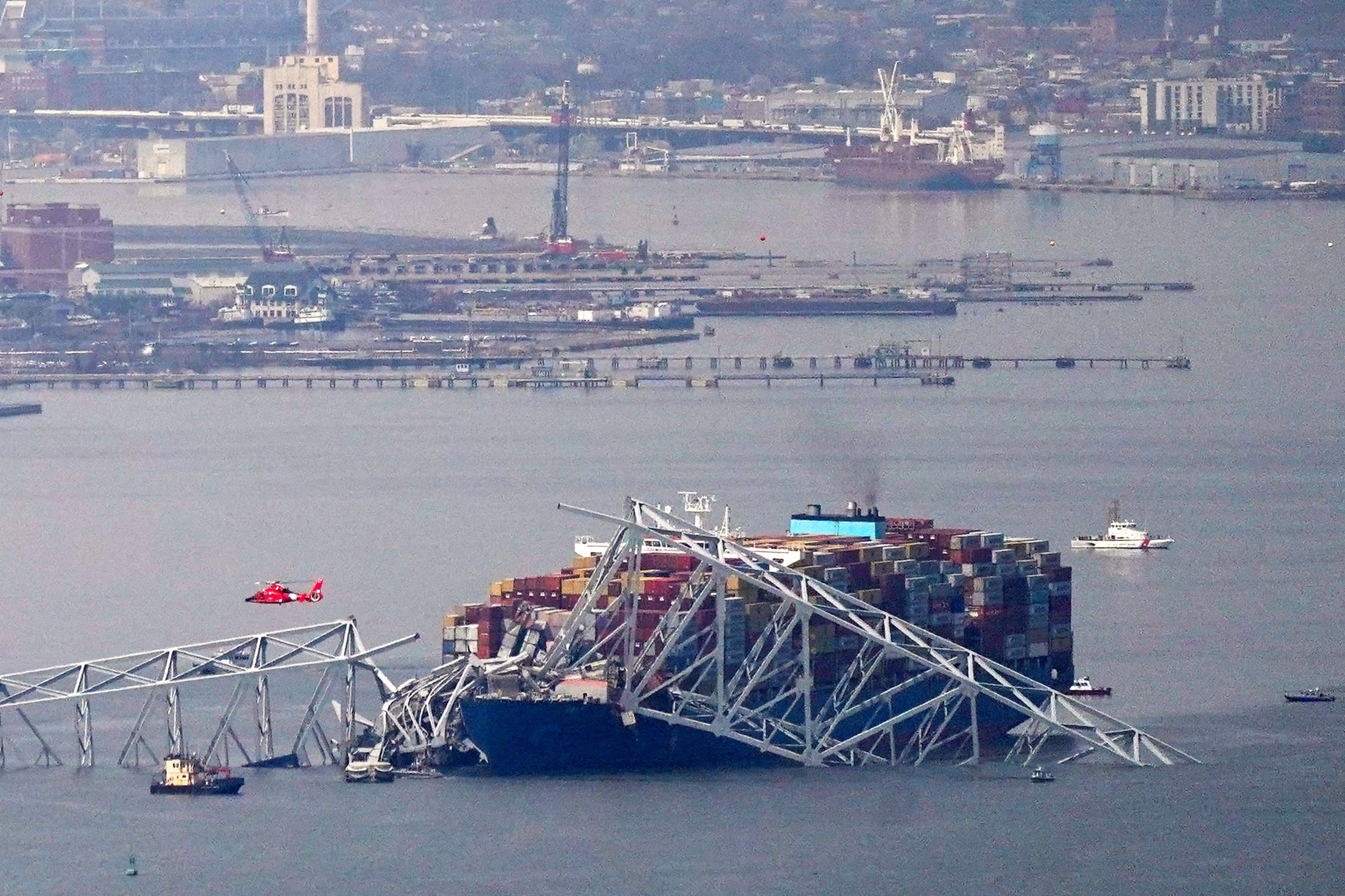
In the wake of the Francis Scott Key Bridge collapse in Baltimore, Tradepoint Atlantic (TPA) is set to use an $8.26 million grant from the U.S. Department of Transportation to...
By Arathy Somasekhar April 4 (Reuters) – A U.S. appeals court on Thursday upheld federal approval of a deepwater oil-export facility planned off the Texas Gulf Coast, saying the proposed Enterprise Products Partners facility...
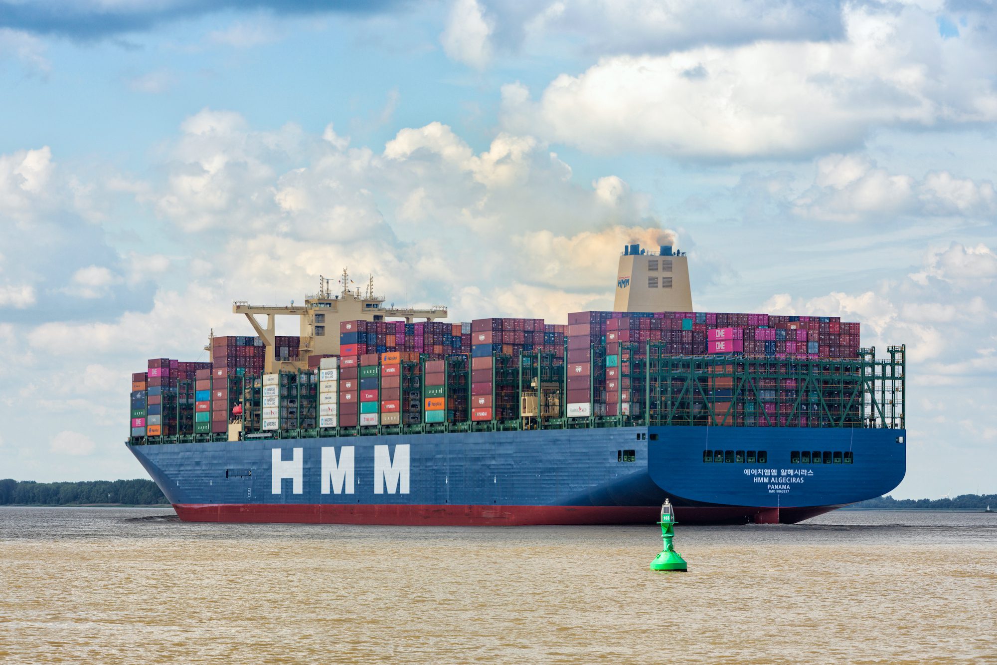
South Korean ocean carrier HMM has inked a Memorandum of Understanding (MoU) with Shanghai International Port Group (SIPG), China’s largest port operator, on the supply methanol and liquefied natural gas...
April 3, 2024
Total Views: 596
Why Join the gCaptain Club?
Access exclusive insights, engage in vibrant discussions, and gain perspectives from our CEO.
This website uses cookies to improve your experience while you navigate through the website. Out of these, the cookies that are categorized as necessary are stored on your browser as they are essential for the working of basic functionalities of the website. We also use third-party cookies that help us analyze and understand how you use this website. These cookies will be stored in your browser only with your consent. You also have the option to opt-out of these cookies. But opting out of some of these cookies may affect your browsing experience.
Necessary cookies are absolutely essential for the website to function properly. This category only includes cookies that ensures basic functionalities and security features of the website. These cookies do not store any personal information.
Any cookies that may not be particularly necessary for the website to function and is used specifically to collect user personal data via analytics, ads, other embedded contents are termed as non-necessary cookies. It is mandatory to procure user consent prior to running these cookies on your website.

 Join The Club